Railway Square road overbridge, Sydney
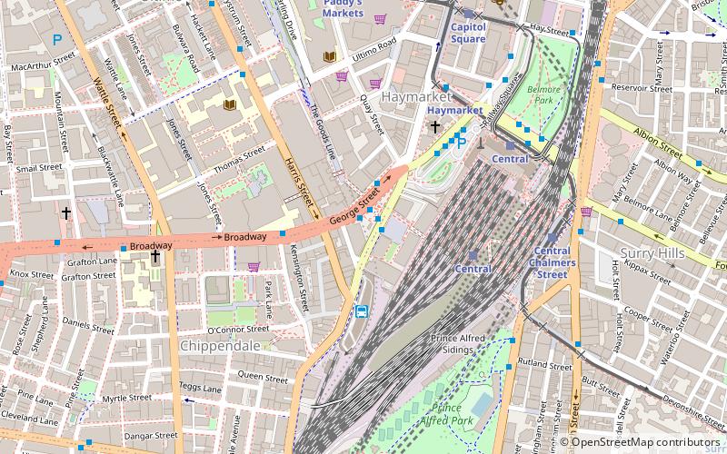
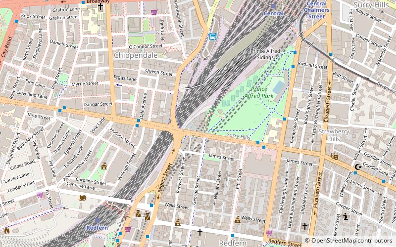
Map
Facts and practical information
The Railway Square road overbridge is a heritage-listed road overbridge carrying George Street over the former Darling Harbour goods railway line at Railway Square in the Sydney central business district, in the City of Sydney local government area of New South Wales, Australia. The property was added to the New South Wales State Heritage Register on 2 April 1999. ()
Coordinates: 33°53'2"S, 151°12'12"E
Address
South Sydney (Chippendale)Sydney
ContactAdd
Social media
Add
Getting there by public transportation
Public transportation stops near this location
- Bus
- Light rail
- Train
- Ferry
 Bus
Bus
- Calculate routeStand N, Central Station, Railway Square 1 min walk
- Calculate routeStand M, Central Station, Railway Square 1 min walk
- Calculate routeStand J, Central Station, Railway Square 2 min walk
- Calculate routeUniversity of Technology Sydney, Broadway 3 min walk
- Calculate routeCentral 4 min walk
- Calculate routeRedfern 17 min walk
- Calculate routeMuseum 18 min walk
- Calculate routeTown Hall 20 min walk
- Calculate routeHaymarket 6 min walk
- Calculate routeCentral 6 min walk
- Calculate routeCentral Chalmers Street 7 min walk
- Calculate routeCapitol Square 9 min walk
- Calculate routePyrmont Bay Wharf 29 min walk
- Calculate routeBlackwattle Bay Wharf 35 min walk
Maps Sydney TrainsMaps
 Sydney Light RailMaps
 Sydney Ferries
Sydney TrainsMapsSydney Light RailMapsSydney FerriesDay trips
Railway Square road overbridge – popular in the area (distance from the attraction)
Nearby attractions include: Castlereagh Street, Central Park, World Square, Paddy's Markets.


Frequently Asked Questions (FAQ)
Which popular attractions are close to Railway Square road overbridge?
Nearby attractions include Railway Square, Sydney (3 min walk), Central Park, Sydney (4 min walk), The Goods Line, Sydney (4 min walk), UTS Tower, Sydney (5 min walk).
How to get to Railway Square road overbridge by public transport?
The nearest stations to Railway Square road overbridge:
Bus
Train
Light rail
Ferry
Bus
- Stand N, Central Station, Railway Square • Lines: 607X (1 min walk)
- Stand M, Central Station, Railway Square • Lines: 300, 431, 433 (1 min walk)
Train
- Central (4 min walk)
- Redfern (17 min walk)
Light rail
- Haymarket • Lines: L2, L3 (6 min walk)
- Central • Lines: L1 (6 min walk)
Ferry
- Pyrmont Bay Wharf • Lines: F4, Ferry (29 min walk)
- Blackwattle Bay Wharf (35 min walk)