Crown Street Reservoir, Sydney
Map

Map

Facts and practical information
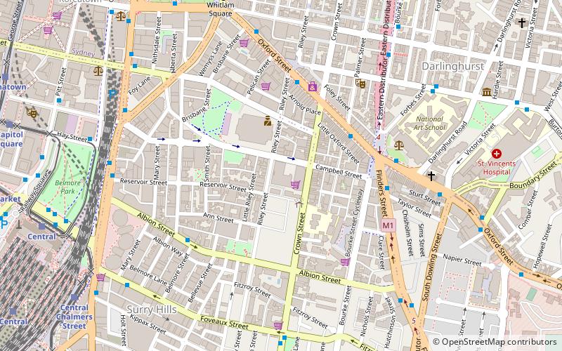
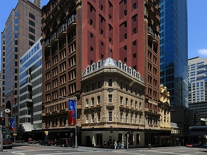
The Crown Street Reservoir is a heritage-listed reservoir located at 285 Crown Street, Surry Hills, City of Sydney, New South Wales, Australia. It was built by Donohoe and Vaughan. It is also known as Crown Street Reservoir & Site and WS 0034. The property is owned by Sydney Water, an agency of the Government of New South Wales. It was added to the New South Wales State Heritage Register on 18 November 1999. ()
Coordinates: 33°52'52"S, 151°12'50"E
Address
South Sydney (Surry Hills)Sydney
ContactAdd
Social media
Add
Day trips
Crown Street Reservoir – popular in the area (distance from the attraction)
Nearby attractions include: Castlereagh Street, ANZAC Memorial, Emden Gun, Australian Hall.
Frequently Asked Questions (FAQ)
Which popular attractions are close to Crown Street Reservoir?
Nearby attractions include St Sophia Greek Orthodox Church, Sydney (4 min walk), Darlinghurst Courthouse, Sydney (4 min walk), Bourke Street Wesleyan Chapel, Sydney (5 min walk), Chinese Presbyterian Church, Sydney (5 min walk).
How to get to Crown Street Reservoir by public transport?
The nearest stations to Crown Street Reservoir:
Bus
Light rail
Train
Ferry
Bus
- Hay St opp Belmore Park • Lines: 431 (9 min walk)
- Museum Station, Downing Centre, Stand E • Lines: 302, 303, 431 (10 min walk)
Light rail
- Central Chalmers Street • Lines: L2, L3 (11 min walk)
- Central • Lines: L1 (11 min walk)
Train
- Museum (11 min walk)
- Central (14 min walk)
Ferry
- Pyrmont Bay Wharf • Lines: F4, Ferry (32 min walk)
- Darling Harbour Wharf 1 (33 min walk)

 Sydney Trains
 Sydney Light Rail
 Sydney Ferries


