Plenty River Trail, Melbourne
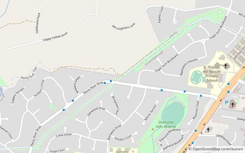
Map
Facts and practical information
Coordinates: 37°40'56"S, 145°6'44"E
Address
Banyule (Greensborough)Melbourne
ContactAdd
Social media
Add
Day trips
Plenty River Trail – popular in the area (distance from the attraction)
Nearby attractions include: Greensborough Plaza, Montsalvat, Westfield Plenty Valley, Westerfolds Park.
Frequently Asked Questions (FAQ)
How to get to Plenty River Trail by public transport?
The nearest stations to Plenty River Trail:
Bus
Bus
- Oldstead Road • Lines: 901 (10 min walk)
- St Thomas Primary School • Lines: 901 (11 min walk)
 Melbourne Trams
 Victoria Trains

