Wolseley Road, Sydney

Gallery (8)
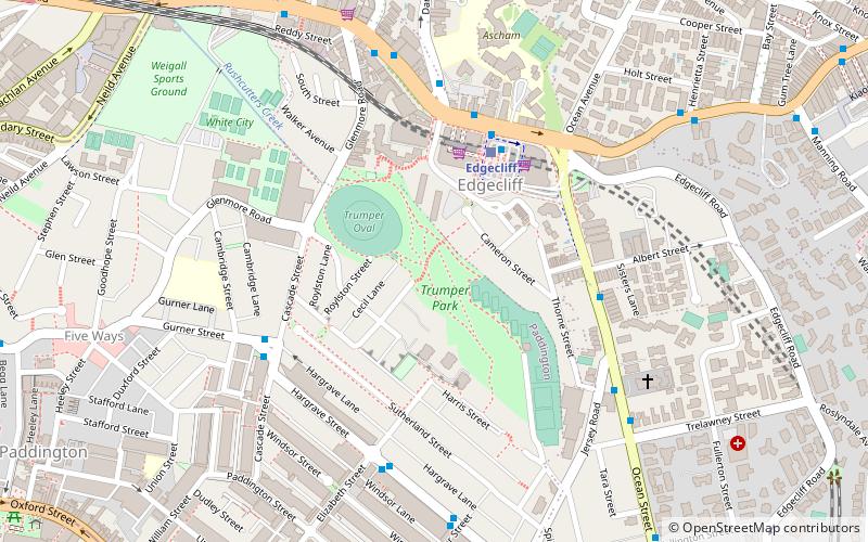
Map

Map

Gallery
Facts and practical information
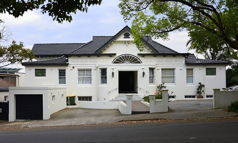
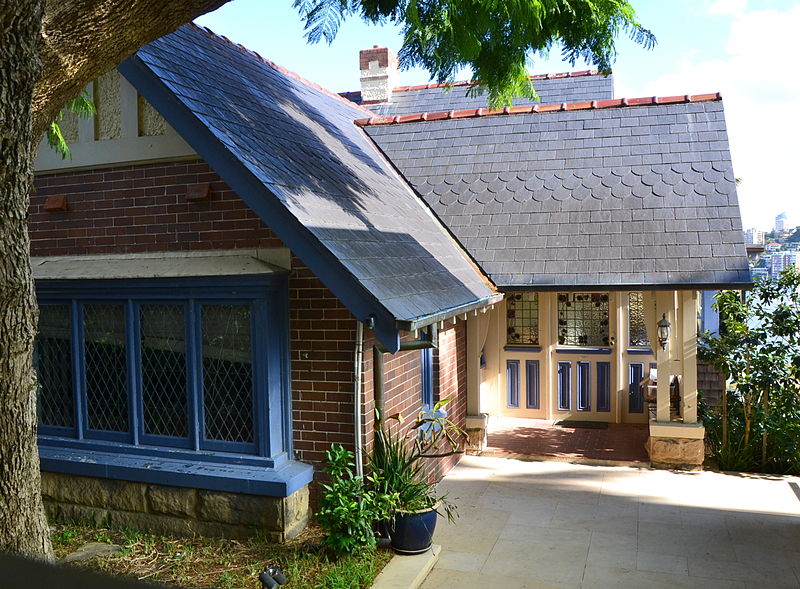
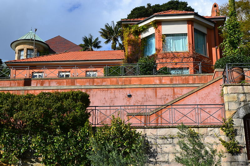
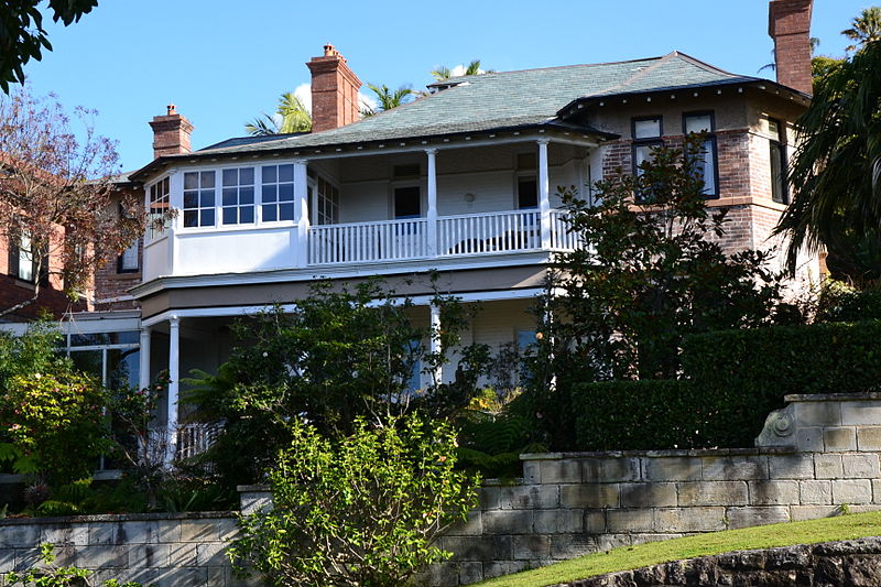
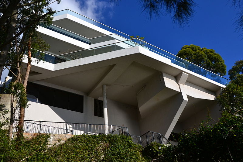
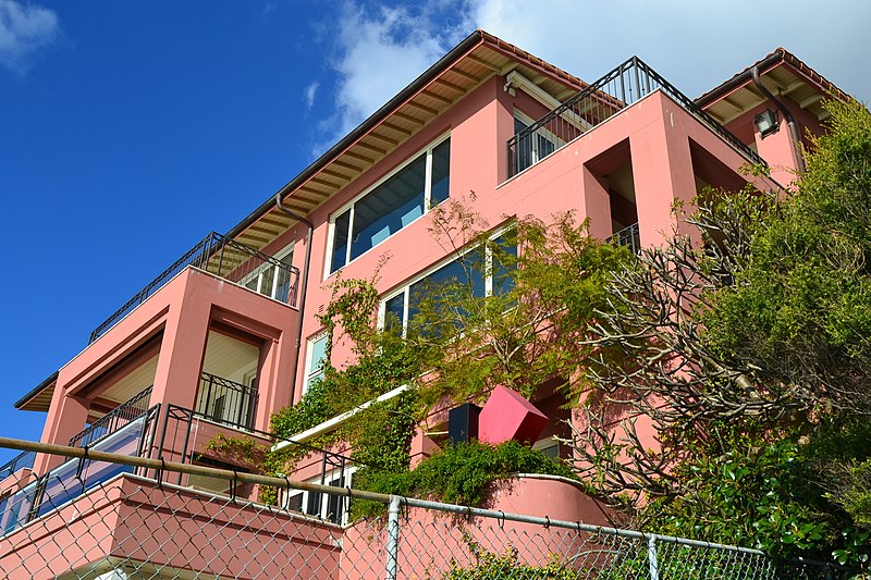
Wolseley Road is a road in the Sydney suburb of Point Piper. It is one kilometre long. It starts at New South Head Road and curves around the west side of Point Piper, terminating in a dead end above Lady Martins Beach. ()
Coordinates: 33°51'58"S, 151°14'59"E
Address
Eastern Suburbs (Point Piper)Sydney
ContactAdd
Social media
Add
Getting there by public transportation
Public transportation stops near this location
- Bus
- Train
- Ferry
 Bus
Bus
- Calculate routeDarling Point 15 min walk
- Calculate routeDouble Bay Wharf 16 min walk
- Calculate routeRose Bay Wharf 20 min walk
- Calculate routeGarden Island 32 min walk
- Calculate routeEdgecliff 31 min walk
- Calculate routeEdgecliff Station, Stand K 31 min walk
Maps Sydney TrainsMaps
 Sydney Light RailMaps
 Sydney Ferries
Sydney TrainsMapsSydney Light RailMapsSydney FerriesDay trips


Frequently Asked Questions (FAQ)
Which popular attractions are close to Wolseley Road?
Nearby attractions include Woollahra House, Sydney (7 min walk), Carthona, Sydney (13 min walk), Gladswood House, Sydney (13 min walk), Clark Island, Sydney (14 min walk).
How to get to Wolseley Road by public transport?
The nearest stations to Wolseley Road:
Ferry
Train
Bus
Ferry
- Darling Point • Lines: F7 (15 min walk)
- Double Bay Wharf • Lines: F7 (16 min walk)
Train
- Edgecliff (31 min walk)
Bus
- Edgecliff Station, Stand K • Lines: 200 (31 min walk)