Rose Bay Sea Wall, Sydney

Gallery (1)
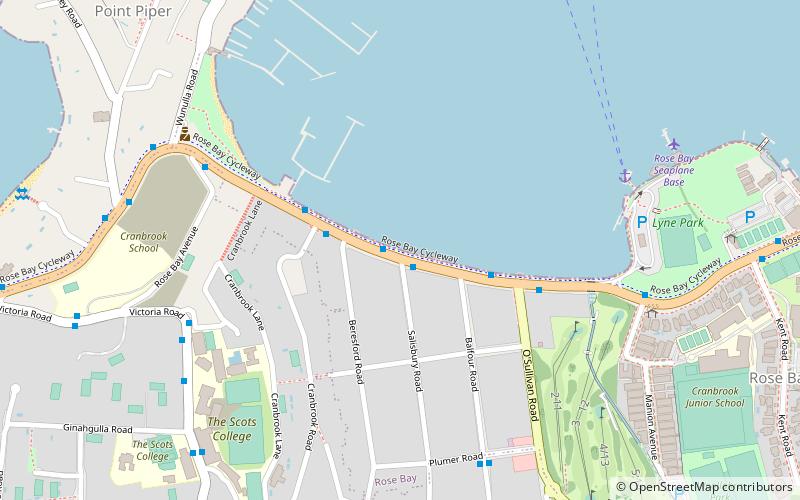
Map
Map
Facts and practical information
Rose Bay Sea Wall is a heritage-listed former Aboriginal land, farms and road reserve and now sea wall, road reserve and esplanade at New South Head Road, Rose Bay, in the Municipality of Woollahra local government area of New South Wales, Australia. It was designed by Herbert E. Ross and built from 1924 to 1926 by Woollahra Municipal Council. It is also known as Rose Bay Sea Wall, Promenade and its setting. It was added to the New South Wales State Heritage Register on 22 August 2014. ()
Coordinates: 33°52'19"S, 151°15'26"E
Address
Eastern Suburbs (Rose Bay)Sydney
ContactAdd
Social media
Add
Getting there by public transportation
Public transportation stops near this location
- Bus
- Ferry
 Bus
Bus
- Calculate routeRose Bay Wharf 8 min walk
- Calculate routeDouble Bay Wharf 22 min walk
- Calculate routeDarling Point 28 min walk
- Calculate routeOld South Head Rd Before Banksia Rd 30 min walk
- Calculate routeO'Brien St At Simpson St 32 min walk
Maps Sydney TrainsMaps
 Sydney Light RailMaps
 Sydney Ferries
Sydney TrainsMapsSydney Light RailMapsSydney FerriesDay trips


Frequently Asked Questions (FAQ)
Which popular attractions are close to Rose Bay Sea Wall?
Nearby attractions include Ginahgulla, Sydney (10 min walk), Woollahra House, Sydney (12 min walk), Wolseley Road, Sydney (16 min walk), Gladswood House, Sydney (17 min walk).
How to get to Rose Bay Sea Wall by public transport?
The nearest stations to Rose Bay Sea Wall:
Ferry
Bus
Ferry
- Rose Bay Wharf • Lines: F7 (8 min walk)
- Double Bay Wharf • Lines: F7 (22 min walk)
Bus
- Old South Head Rd Before Banksia Rd • Lines: 379 (30 min walk)
- O'Brien St At Simpson St • Lines: 379 (32 min walk)