Hopetoun Hotel, Sydney
Facts and practical information
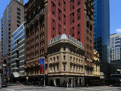
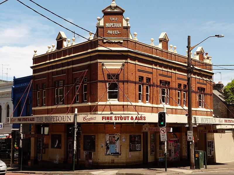
The Hopetoun Hotel, colloquially referred to as The Hoey, is a historic Sydney hotel and music venue in Surry Hills, New South Wales. It was built somewhere between 1836 and 1839, originally under the name of the Cookatoo Inn and then in 1901 revamped and named in honour of the first Governor General, Lord Hopetoun. In 1997 it was purchased by siblings Evangelos and Anastasia Patakas for $1.5 million and became a live music venue that saw performances by bands including the Hoodoo Gurus and Wolfmother. In 2009, it was closed due to accumulated fines and police citations for noise violations in a residential area. It has remained shut since, though it was used in 2012 as a set for The Wolverine. ()
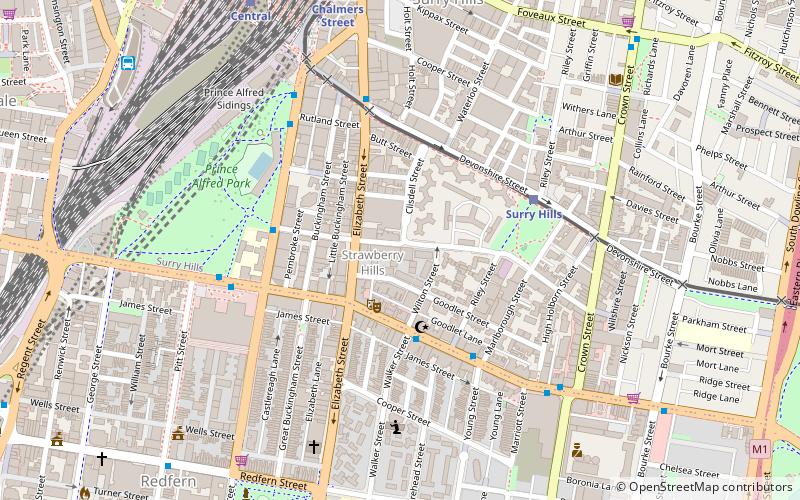
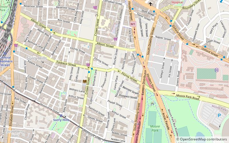
416 Bourke StreetSouth Sydney (Surry Hills)Sydney
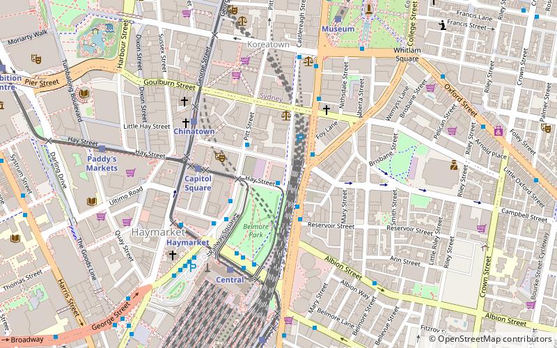
Hopetoun Hotel – popular in the area (distance from the attraction)
Nearby attractions include: Castlereagh Street, Australian Hall, Albert Cotter Bridge, Bourke Street Wesleyan Chapel.
Frequently Asked Questions (FAQ)
Which popular attractions are close to Hopetoun Hotel?
How to get to Hopetoun Hotel by public transport?
Light rail
- Surry Hills • Lines: L2, L3 (8 min walk)
- Central Chalmers Street • Lines: L2, L3 (13 min walk)
Bus
- Surry Hills, Cleveland Street nr Crown Street • Lines: 301 (12 min walk)
- Hay St opp Belmore Park • Lines: 431 (15 min walk)
Train
- Central (16 min walk)
- Museum (19 min walk)

 Sydney Trains
 Sydney Light Rail
 Sydney Ferries