Woronora River Bridge, Sydney
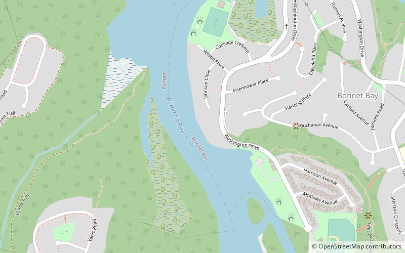
Map

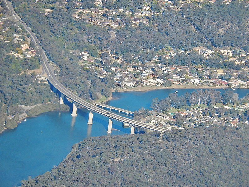
Gallery

Facts and practical information
The Woronora River Bridge, also known as Woronora Bridge, is a four-lane road bridge that carries River Road across the Woronora River at Woronora, in Southern Sydney, New South Wales, Australia. The bridge, at the time of its completion in 2001, was the largest incrementally launched bridge in the Southern Hemisphere with horizontal and vertical curves. ()
Completed: 2001 (25 years ago)Length: 1709 ftWidth: 68 ftHeight: 118 ftCoordinates: 34°0'40"S, 151°2'49"E
Address
Sutherland (Bonnet Bay)Sydney
ContactAdd
Social media
Add
Day trips
Woronora River Bridge – popular in the area (distance from the attraction)
Nearby attractions include: Sydney Tramway Museum, Oatley Park, Green Point Observatory, Woronora Memorial Park.
Frequently Asked Questions (FAQ)
How to get to Woronora River Bridge by public transport?
The nearest stations to Woronora River Bridge:
Bus
Train
Bus
- Akuna Oval • Lines: M92 (25 min walk)
- Bangor Shops • Lines: M92 (30 min walk)
Train
- Jannali (28 min walk)

 Sydney Trains
 Sydney Light Rail
 Sydney Ferries


