Burswood canal, Perth
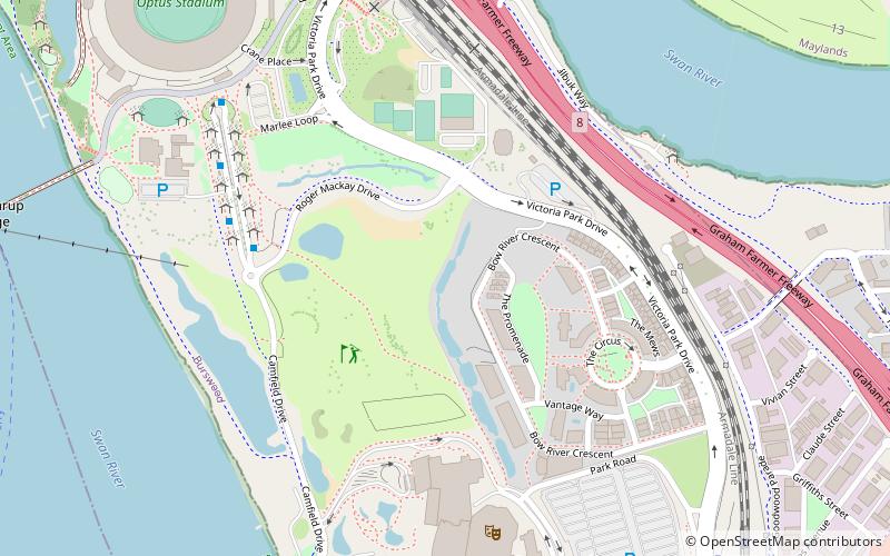
Map
Facts and practical information
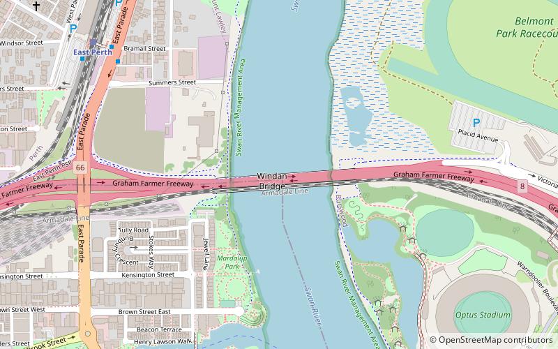
Burswood canal was one of the earliest public works conducted in the Swan River Colony on the Burswood peninsula on the Swan River in the 1830s. It was made to shorten the journey on the Swan River, between Fremantle and Guildford. At that time Guildford was more prominent than Perth. ()
Coordinates: 31°57'20"S, 115°53'39"E
Address
Victoria ParkPerth
ContactAdd
Social media
Add
Getting there by public transportation
Public transportation stops near this location
- Bus
- Train
 Bus
Bus
- Calculate routePerth Stadium 10 min walk
- Calculate routeBurswood 12 min walk
- Calculate routeVictoria Park 31 min walk
- Calculate routeEast Perth 33 min walk
- Calculate routeNile Street 21 min walk
- Calculate routeEast Perth Cemeteries 22 min walk
- Calculate routeVictoria Gardens 22 min walk
- Calculate routeHaig Park Circle 23 min walk
Day trips


Frequently Asked Questions (FAQ)
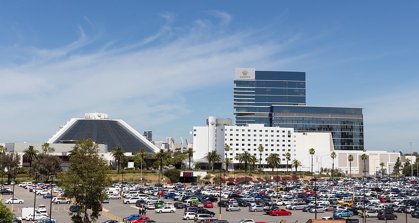
Which popular attractions are close to Burswood canal?
Nearby attractions include Crown Perth, Perth (10 min walk), Swan River Pedestrian Bridge, Perth (14 min walk), Gloucester Park, Perth (19 min walk), Riverview Church, Perth (20 min walk).
How to get to Burswood canal by public transport?
The nearest stations to Burswood canal:
Train
Bus
Train
- Perth Stadium (10 min walk)
- Burswood (12 min walk)
Bus
- Nile Street • Lines: 3F, 3T (21 min walk)
- East Perth Cemeteries • Lines: 3T (22 min walk)