Dights Falls, Melbourne
Map
Gallery
Facts and practical information
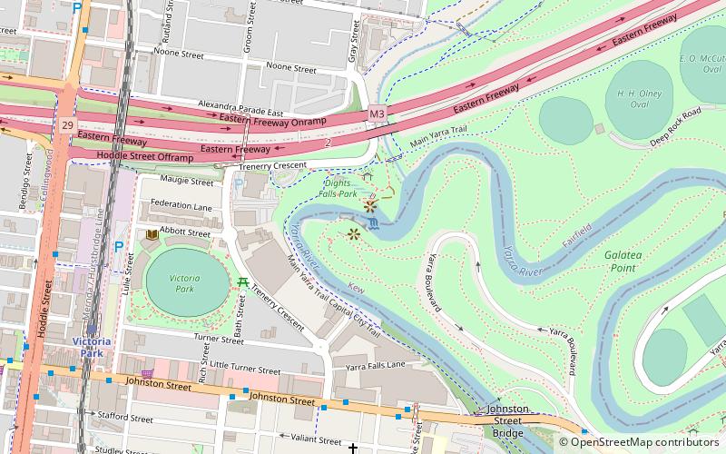
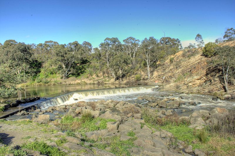
Dights Falls is a rapid and weir on the Yarra River in Melbourne, Victoria, just downstream of the junction with the Merri Creek. At this point the river narrows and is constricted between 800,000-year-old volcanic, basaltic lava flow and a much older steep, silurian, sedimentary spur. The north side also contains abundant graptolite fossils in sedimentary sandstone. ()
Coordinates: 37°47'50"S, 145°0'3"E
Address
Boroondara (Kew)Melbourne
ContactAdd
Social media
Add
Day trips
Dights Falls – popular in the area (distance from the attraction)
Nearby attractions include: Smith Street Bazaar, Cooks' Cottage, Fitzroy Gardens, Victoria Gardens Shopping Centre.
Frequently Asked Questions (FAQ)
Which popular attractions are close to Dights Falls?
Nearby attractions include Victoria Park, Melbourne (6 min walk), Johnston Street Bridge, Melbourne (8 min walk), Abbotsford Convent, Melbourne (10 min walk), Collingwood Children's Farm, Melbourne (13 min walk).
How to get to Dights Falls by public transport?
The nearest stations to Dights Falls:
Bus
Train
Tram
Bus
- Trenerry Crescent/Johnston Street • Lines: 200, 207 (6 min walk)
- Clarke Street/Johnston Street • Lines: 200, 207 (7 min walk)
Train
- Victoria Park (10 min walk)
- Collingwood (17 min walk)
Tram
- Stop 24: Michael Street • Lines: 86, 86d (21 min walk)
- Stop 24: Gold Street • Lines: 86 (21 min walk)

 Melbourne Trams
 Victoria Trains


