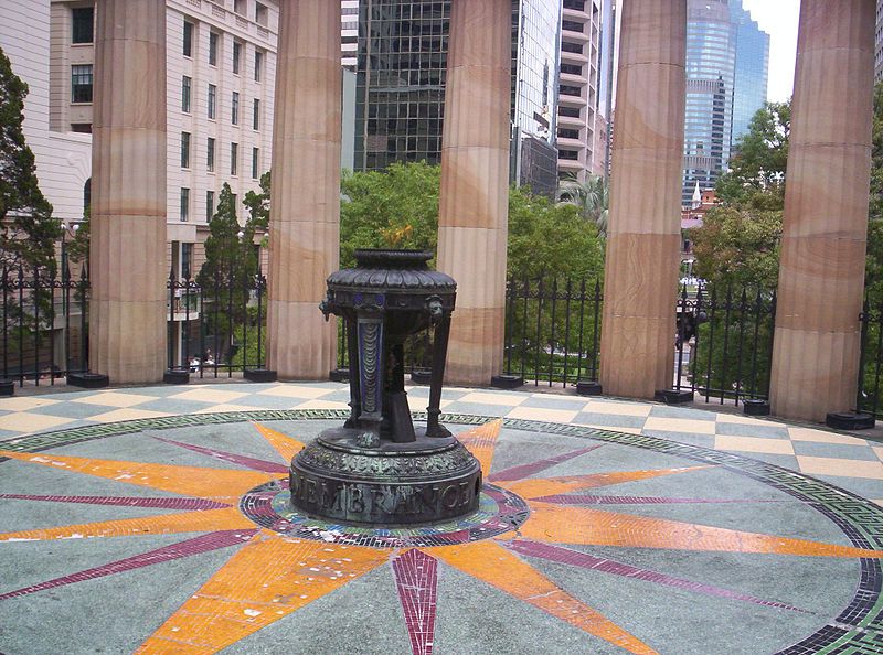
Shrine of Remembrance, Brisbane

Gallery (8)
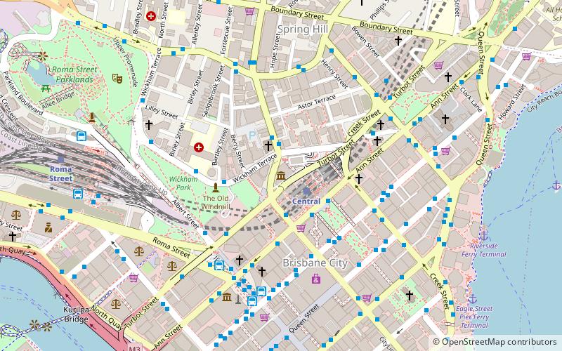
Map

Map

Gallery
Facts and practical information
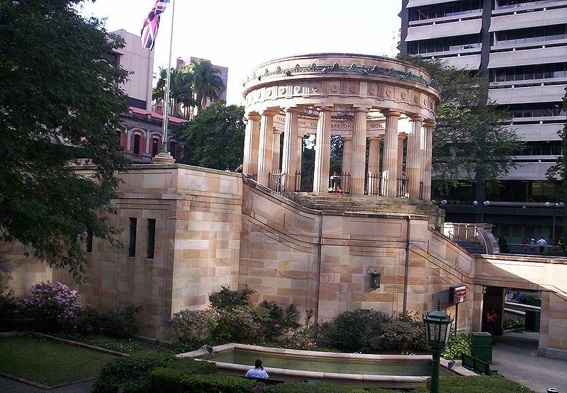
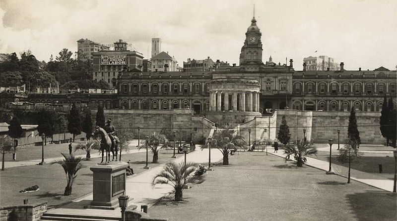
The Shrine of Remembrance is located in ANZAC Square, between Ann Street and Adelaide Street, in Brisbane, Queensland, Australia. With its 'Eternal Flame', the Shrine is a war memorial dedicated to the Australian and New Zealand Army Corps. ()
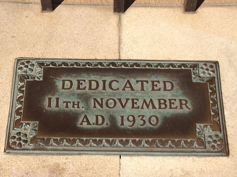
Unveiled: 11 November 1930Coordinates: 27°27'59"S, 153°1'34"E
Address
Brisbane CityBrisbane
ContactAdd
Social media
Add
Getting there by public transportation
Public transportation stops near this location
- Bus
- Train
- Ferry
 Bus
Bus
- Calculate routeCentral 1 min walk
- Calculate routeRoma Street 13 min walk
- Calculate routeFortitude Valley 23 min walk
- Calculate routeSouth Bank 28 min walk
- Calculate routeEdward Street Stop 141 near Ann St 2 min walk
- Calculate routeAdelaide Street Stop 24 near Edward St 3 min walk
- Calculate routeAnn Street stop 9 near King George Square 3 min walk
- Calculate routeEagle Street Pier Ferry Terminal 9 min walk
- Calculate routeHolman Street Ferry Terminal 12 min walk
- Calculate routeNorth Quay 1 13 min walk
- Calculate routeNorth Quay 2 13 min walk
Day trips


Frequently Asked Questions (FAQ)
Which popular attractions are close to Shrine of Remembrance?
Nearby attractions include Anzac Square, Brisbane (2 min walk), South African War Memorial, Brisbane (2 min walk), Turbot Street, Brisbane (2 min walk), Adelaide Street, Brisbane (2 min walk).
How to get to Shrine of Remembrance by public transport?
The nearest stations to Shrine of Remembrance:
Train
Bus
Ferry
Train
- Central (1 min walk)
- Roma Street (13 min walk)
Bus
- Edward Street Stop 141 near Ann St • Lines: 372, 470, P331 (2 min walk)
- Adelaide Street Stop 24 near Edward St • Lines: 204 (3 min walk)
Ferry
- Eagle Street Pier Ferry Terminal • Lines: Chop-400, Xrvr-400 (9 min walk)
- Holman Street Ferry Terminal • Lines: Chop-400, Xrvr-400 (12 min walk)