Türkenschanzpark, Vienna
Map
Gallery
Facts and practical information
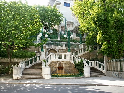
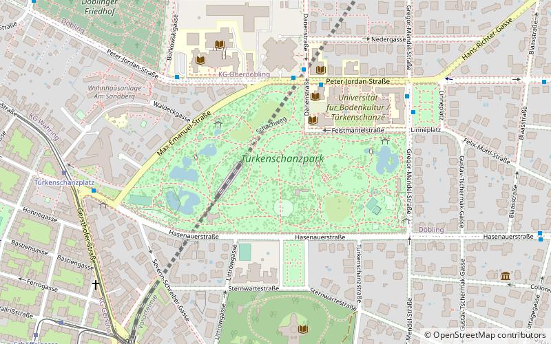
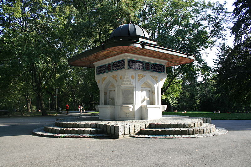
Türkenschanzpark is a park in the 18th district of Währing, Vienna. The park was opened in 1888 on the Türkenschanze.
Elevation: 761 ft a.s.l.Coordinates: 48°14'7"N, 16°20'1"E
Day trips
Türkenschanzpark – popular in the area (distance from the attraction)
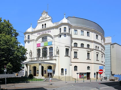
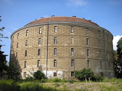
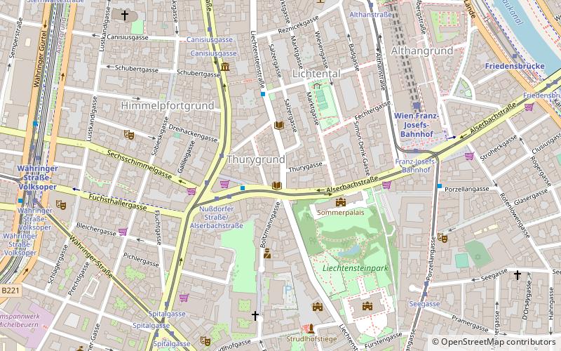
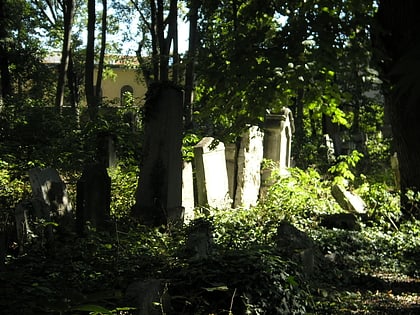
Nearby attractions include: Volksoper, Narrenturm, Alsergrund, Jüdischer Friedhof Währing.
Frequently Asked Questions (FAQ)
Which popular attractions are close to Türkenschanzpark?
Nearby attractions include University of Natural Resources and Life Sciences, Vienna (4 min walk), Vienna Observatory, Vienna (7 min walk), Döbling Cemetery, Vienna (9 min walk), Weinbergkirche, Vienna (21 min walk).
How to get to Türkenschanzpark by public transport?
The nearest stations to Türkenschanzpark:
Bus
Tram
Train
Metro
Bus
- Dänenstraße • Lines: 10A, 37A, 40A (4 min walk)
- Borkowskigasse • Lines: 40A (5 min walk)
Tram
- Türkenschanzplatz • Lines: 41 (8 min walk)
- Gersthof • Lines: 40, 41, 9 (9 min walk)
Train
- Wien Gersthof (10 min walk)
- Wien Krottenbachstraße (12 min walk)
Metro
- Nußdorfer Straße • Lines: U6 (24 min walk)
- Währinger Straße-Volksoper • Lines: U6 (26 min walk)

