Kirchdachspitze
#233 among destinations in Austria

Facts and practical information
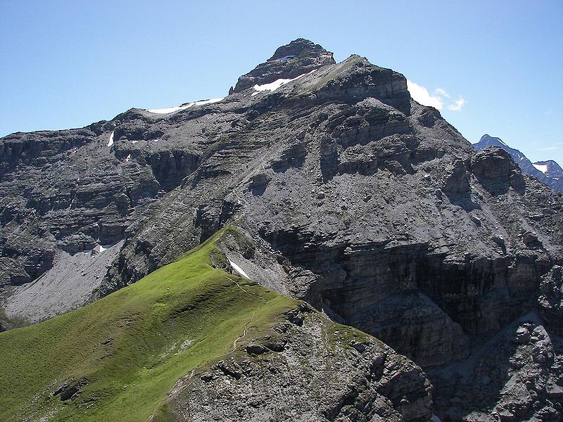
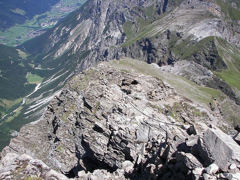
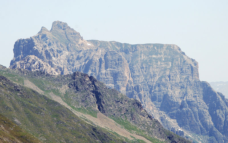
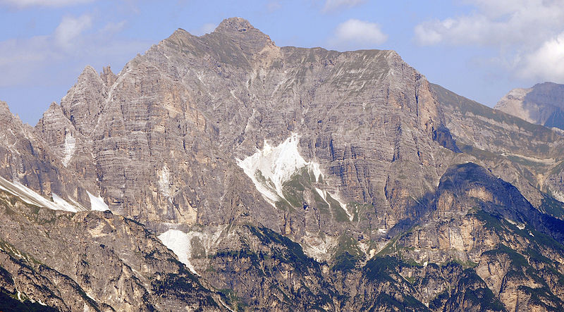
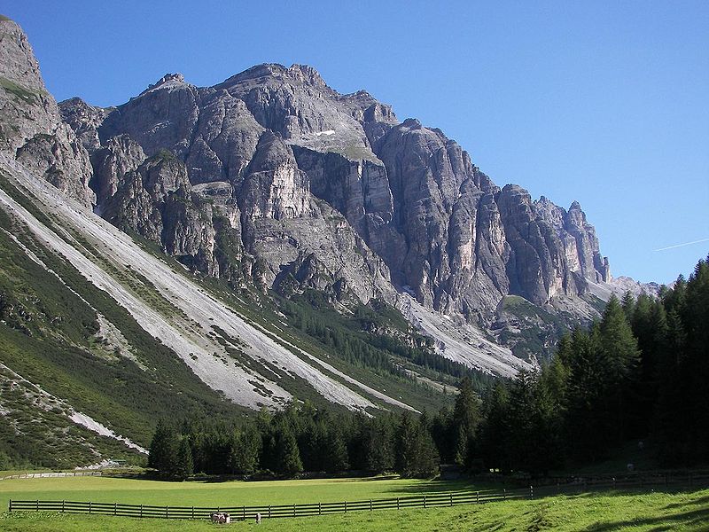
The Kirchdach, also Kirchdachspitze, is a mountain, 2,840 m, in the Stubai Alps in Tyrol, Austria. ()
TyrolAustria
Kirchdachspitze – popular in the area (distance from the attraction)
Nearby attractions include: Innsbrucker Hut, Hoher Burgstall, Mühlendorf, Lichtsee.
 Alpine hut, Hiking
Innsbrucker Hut
57 min walk • Nestled in the heart of the Austrian Alps, the Innsbrucker Hut is a quintessential alpine refuge offering breathtaking panoramas and a slice of mountaineering culture. This alpine hut, situated at an altitude of 2,369 meters, serves as a popular base for hikers...
 Nature, Natural attraction, Mountain
Hoher Burgstall
138 min walk • Nestled in the Stubai Alps of Austria, the Hoher Burgstall stands as a majestic mountain, reaching an elevation of 2,607 meters. Known for its breathtaking views and the sense of tranquility it offers, this peak is a hidden gem for hikers and nature enthusiasts alike.
 Amusement, Amusement park
Mühlendorf
71 min walk • The Gschnitztal is a western, left side valley of the Tyrolean Wipptal in Austria. It branches off at Steinach am Brenner. At the valley entrance it crosses the 674 m long Gschnitztal bridge of the southbound Brenner freeway.
 Nature, Natural attraction, Lake
Lichtsee
100 min walk • Lichtsee is a lake in Tyrol, Austria. It lies northern above the village Obernberg am Brenner on 2.100 metres above sea level. It can only be reached on foot from the village.
 Nature, Natural attraction, Mountain
Schlicker Seespitze
161 min walk • The Schlicker Seespitze, at 2,804 m, is the highest peak in the Kalkkögel range in Austria's Stubai Alps, as well as the southwestern cornerstone of the chain. This mountain, known for being extremely prone to landslides, is a good observation point. It is located near the village of Schlick.
 Nature, Natural attraction, Mountain
Innere Wetterspitze
169 min walk • The Innere Wetterspitze is a mountain, 3,053 metres high, in the Stubai Alps in the Austrian state of Tyrol. It lies between the Stubai and Gschnitztal valleys, rising to the north of and above the col of Simmingjöchl and is separated by the Lautererseejoch from the rather higher Äußere Wetterspitze.

 Nature, Natural attraction, Mountain
Serles
115 min walk • Serles is a mountain of the Stubai Alps in the Austrian state of Tyrol, Austria, between the Stubai Valley and Wipptal, near the Italian border. Its nickname is Altar von Tirol, literally the Altar of Tyrol. It has several lower peaks, including Sonnenstein to the north.
 Locality
Neustift im Stubaital
86 min walk • One of the main attractions of Neustift im Stubaital is the Stubai Glacier, the largest glacier ski area in Austria. Visitors can enjoy a wide range of winter sports activities, including skiing, snowboarding, and snowshoeing, while taking in breathtaking views of the...
 Locality
Gschnitz
40 min walk • Gschnitz is a municipality with 415 inhabitants in the south of North Tyrol.
 Alpine hut, Hiking
Starkenburger Hütte
129 min walk • Starkenburger Hütte is a refuge of the Darmstadt-Starkenburg Section of the German Alpine Club in the Stubai Alps in Tyrol. It is located at an altitude of 2237 m above sea level and offers an impressive view of the opposite Serleskamm, as well as...


