Mühlendorf


Facts and practical information
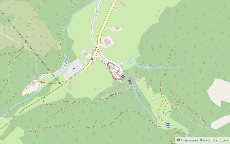
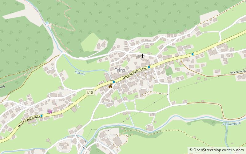
The Gschnitztal is a western, left side valley of the Tyrolean Wipptal in Austria. It branches off at Steinach am Brenner. At the valley entrance it crosses the 674 m long Gschnitztal bridge of the southbound Brenner freeway. The Gschnitztal country road first passes under this bridge and with a maximum gradient of 11% via Trins and Gschnitz towards the end of the valley, which is formed by the Laponesalm. The road already ends in Obertal, where the Sandesbach, coming from the south, flows into the Gschnitzbach.
While the closely nested Rhaeto-Romanic building style is typical for Trins, Gschnitz is characterized by the Bavarian settlement form of widely scattered houses.
The mountain landscape of the wide trough valley is characterized by the combination of mountain flanks made of primary rock and perched limestone peaks. The 2,241 m high Blaser near Trins is considered very rich in flowers due to the geological bedrock. Other prominent mountains are the 3,277 m high Habicht at the border to the Stubaital, the 2,976 m high Gschnitzer Tribulaun and the 3,097 m high Pflerscher Tribulaun. The Tribulaunhütte is located in the Sandestal at an altitude of 2064 m.
The moraines of the Gschnitz valley are important indicators of the alpine glacier levels in the post-glacial period and were or are also used as reference for various glaciological papers.
The valley is crossed by the Gschnitzbach, which flows into the Sill in Steinach.
On July 25, 2019, a mudslide occurred in the Gschnitz Valley in the afternoon after heavy rainfall and thunderstorms. Debris flows also occurred on the same day in Kaunertal, about 30 km to the west, and in South Tyrol.
The Gschnitztal is part of the mountaineering villages initiative of the ÖAV.
Mühlendorf – popular in the area (distance from the attraction)
Nearby attractions include: Innsbrucker Hut, Kirchdachspitze, Lichtsee, Innere Wetterspitze.


