Donaukanal, Vienna
Map
Gallery
Facts and practical information
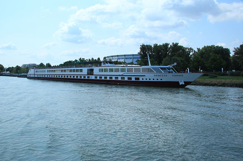
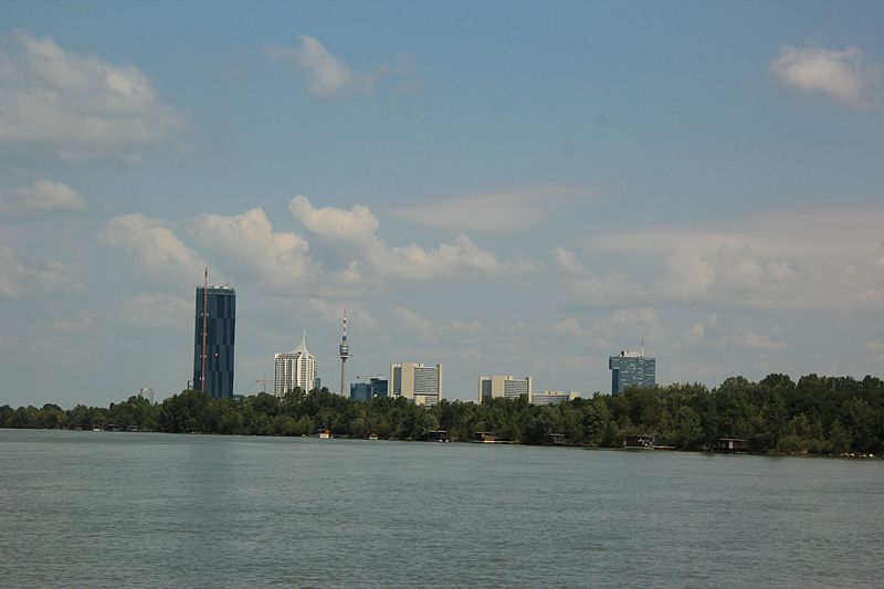
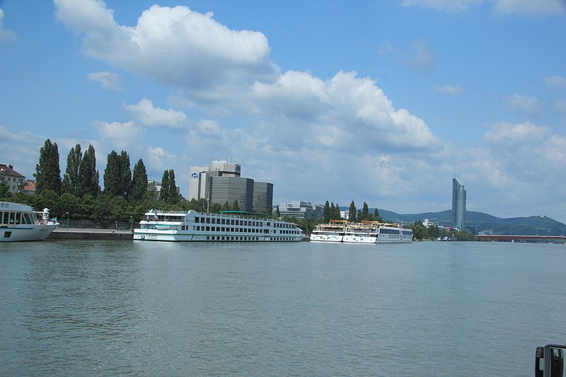
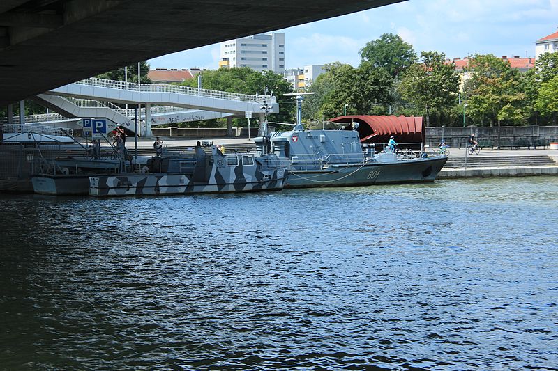
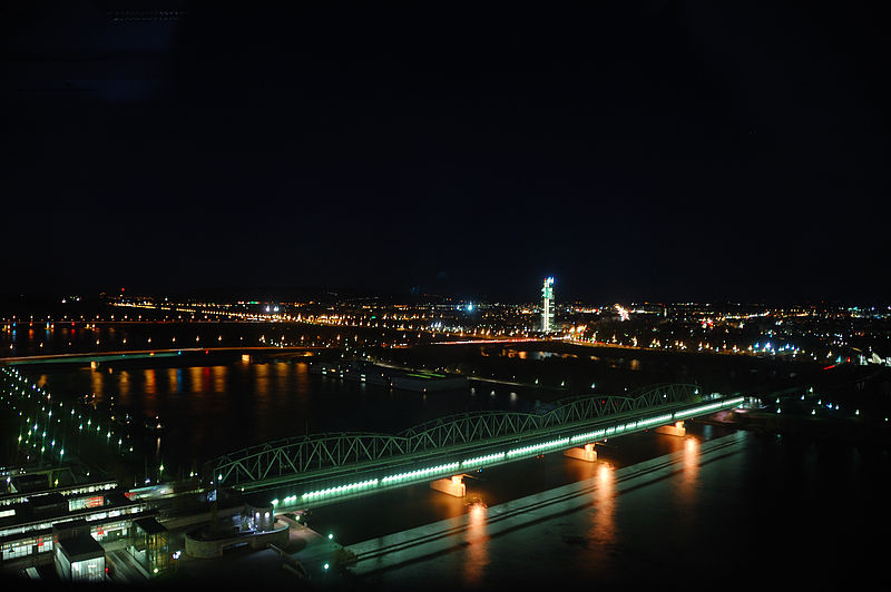
The Donaukanal is a former arm of the river Danube, now regulated as a water channel, within the city of Vienna, Austria. It is 17.3 kilometres long and, unlike the Danube itself, it borders Vienna's city centre, Innere Stadt, where the Wien River flows into it. ()
Address
Riverbank between Augartenbrücke and FranzensbrückeInnere Stadt (Kärntner Viertel)Vienna
Contact
+43 504 3216690
Social media
Add
Day trips
Donaukanal – popular in the area (distance from the attraction)
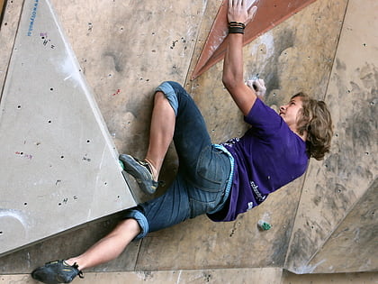
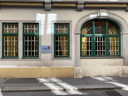
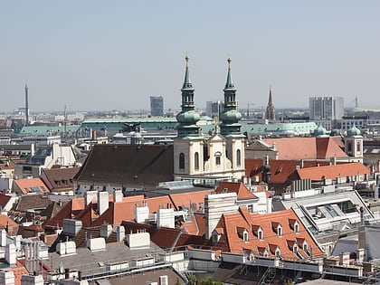
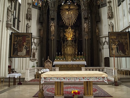
Nearby attractions include: St. Stephen's Cathedral, Peterskirche, Kletterzentrum Austria, Mozarthaus Vienna.
Frequently Asked Questions (FAQ)
Which popular attractions are close to Donaukanal?
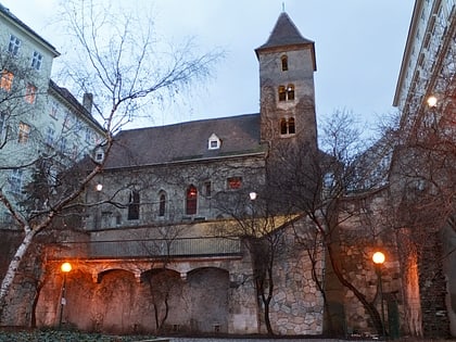
Nearby attractions include Ruprechtskirche, Vienna (3 min walk), Schwedenplatz, Vienna (3 min walk), Stadttempel, Vienna (3 min walk), Café Diglas am Fleischmarkt, Vienna (5 min walk).
How to get to Donaukanal by public transport?
The nearest stations to Donaukanal:
Bus
Tram
Metro
Ferry
Train
Light rail
Bus
- Schwedenplatz/Morzinplatz • Lines: 7570 (1 min walk)
- Schwedenplatz • Lines: 2A, N25, N29, N31, N38, N60, N66 (3 min walk)
Tram
- Salztorbrücke • Lines: 1 (3 min walk)
- Marienbrücke • Lines: 2 (3 min walk)
Metro
- Schwedenplatz • Lines: U1, U4 (5 min walk)
- Schottenring • Lines: U2, U4 (8 min walk)
Ferry
- Nationalparkboot Lobau (5 min walk)
Train
- Wien Mitte (17 min walk)
- Wien Praterstern (23 min walk)
Light rail
- Oper, Karlsplatz • Lines: 62, Wlb (21 min walk)
- Karlsplatz • Lines: 1, 62, Wlb (24 min walk)


