Donau City Church, Vienna
Map
Map

Facts and practical information
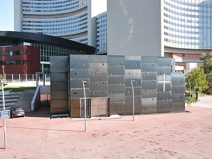
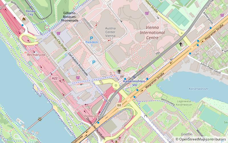
The Donau City Church, known more formally by its dedication as Christus, Hoffnung der Welt is a Roman Catholic parish church in Vienna's 22nd district. The church is located next to the Vienna International Centre. Its architect is Heinz Tesar. ()
Local name: Donaucity-Kirche Completed: 2000 (26 years ago)Architectural style: ModernCoordinates: 48°13'59"N, 16°24'54"E
Address
Donau-City-Straße 2, 1220 ViennaDonaustadt (Kaisermühlen)Vienna
Contact
Social media
Add
Day trips
Donau City Church – popular in the area (distance from the attraction)
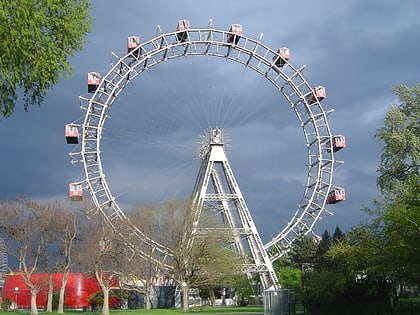
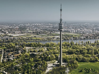
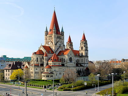
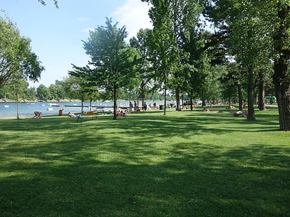
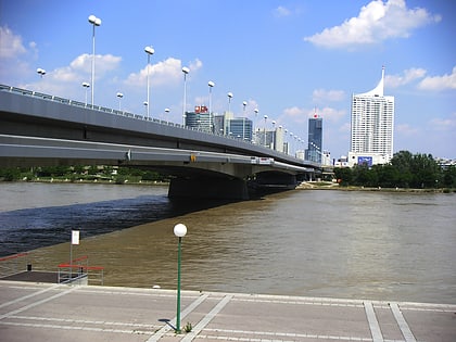
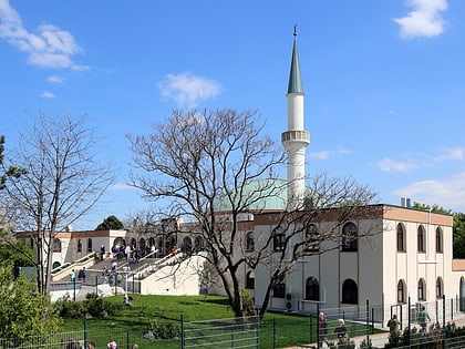
Nearby attractions include: Wurstelprater, Donauturm, St. Francis of Assisi Church, Strandbad Gänsehäufel.
Frequently Asked Questions (FAQ)
Which popular attractions are close to Donau City Church?
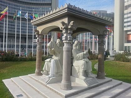
Nearby attractions include Tech Gate Vienna, Vienna (2 min walk), UNO-City, Vienna (4 min walk), DC Towers, Vienna (4 min walk), Scholars Pavilion, Vienna (4 min walk).
How to get to Donau City Church by public transport?
The nearest stations to Donau City Church:
Metro
Bus
Train
Tram
Metro
- Kaisermühlen VIC • Lines: U1 (2 min walk)
- Donauinsel • Lines: U1 (8 min walk)
Bus
- Kaisermühlen-VIC • Lines: 20A, 92A, 92B, Bäderbus Gänsehäufel, N25, N90, Val3 (3 min walk)
- Reichsbrücke • Lines: N25 (5 min walk)
Train
- Donau City (10 min walk)
- Rosenschau (11 min walk)
Tram
- Kagraner Brücke • Lines: 25 (22 min walk)
- Siebeckstraße • Lines: 25 (28 min walk)
