Reichsbrücke, Vienna
Map
Gallery
Facts and practical information
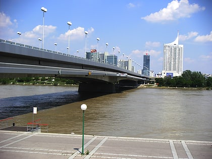
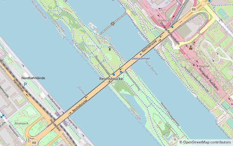
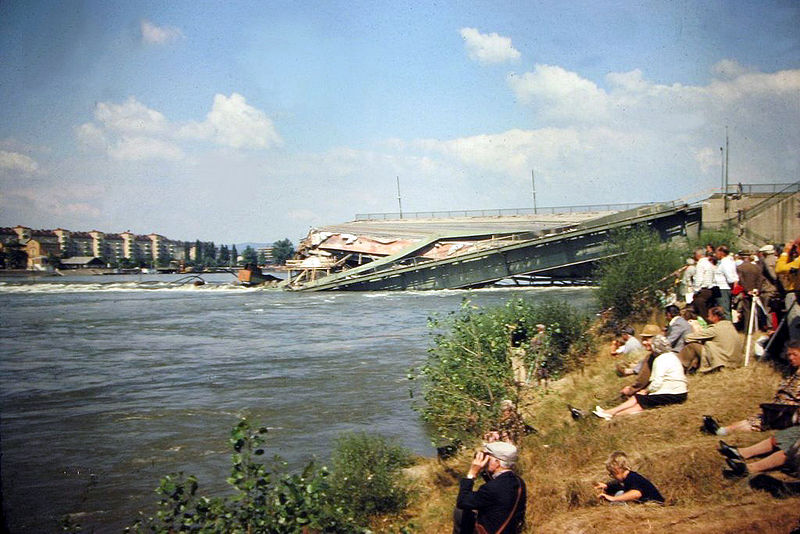
The Reichsbrücke is a major bridge in Vienna, linking Mexikoplatz in Leopoldstadt with the Donauinsel in Donaustadt across the Danube. The bridge is used by 50,000 vehicles per day and carries six lanes of traffic, U-Bahn tracks, two footpaths, two cyclepaths and two utility tunnels. ()
Day trips
Reichsbrücke – popular in the area (distance from the attraction)
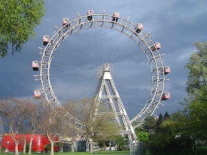
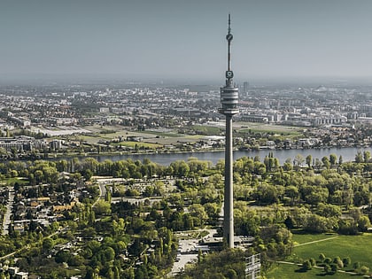
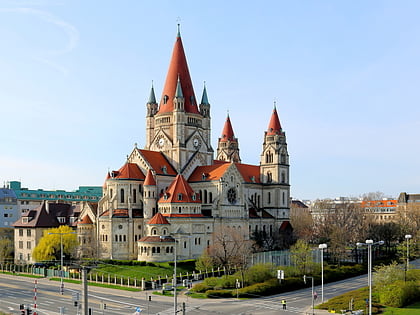
Nearby attractions include: Wurstelprater, Donauturm, St. Francis of Assisi Church, Bezirksmuseum Brigittenau.
Frequently Asked Questions (FAQ)
Which popular attractions are close to Reichsbrücke?
Nearby attractions include DC Towers, Vienna (8 min walk), St. Francis of Assisi Church, Vienna (9 min walk), Tech Gate Vienna, Vienna (10 min walk), Mexikoplatz, Vienna (10 min walk).
How to get to Reichsbrücke by public transport?
The nearest stations to Reichsbrücke:
Bus
Metro
Train
Tram
Bus
- Donauinsel • Lines: N25 (1 min walk)
- Reichsbrücke • Lines: N25 (7 min walk)
Metro
- Donauinsel • Lines: U1 (3 min walk)
- Kaisermühlen VIC • Lines: U1 (12 min walk)
Train
- Donau City (15 min walk)
- Rosenschau (21 min walk)
Tram
- Bruno-Marek-Allee • Lines: O (20 min walk)
- Krakauer Straße • Lines: O (21 min walk)
