Leonding, Linz
Map

Map

Facts and practical information
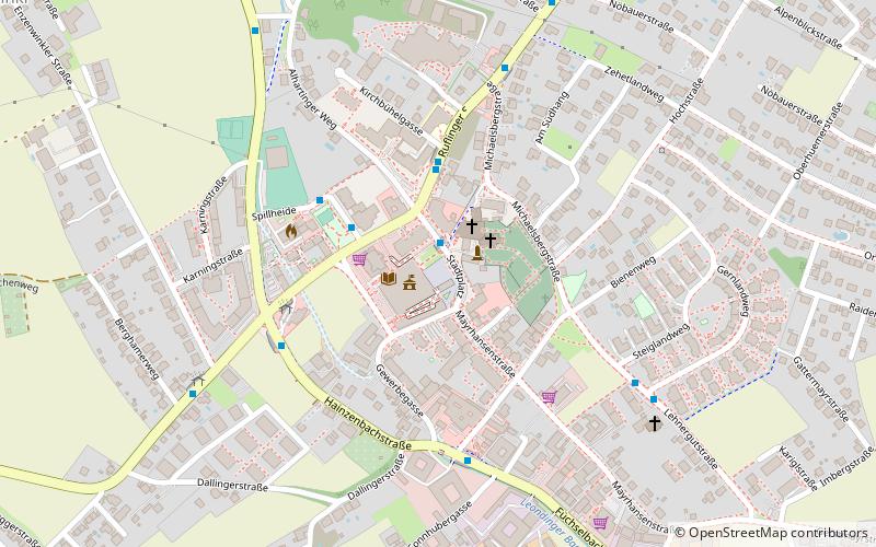
Leonding is a city southwest of Linz in the Austrian state of Upper Austria. It borders Puchenau and the river Danube in the north, Wilhering and Pasching in the west, Traun in the south and Linz in the east. With a population of more than 27 thousand people, Leonding is the most populous city of the Linz-Land district and the fourth most populous city in Upper Austria. ()
Day trips
Leonding – popular in the area (distance from the attraction)
Nearby attractions include: Ursuline Church of St. Michael, New Cathedral, Atelierhaus Salzamt, Führermuseum.
Frequently Asked Questions (FAQ)
How to get to Leonding by public transport?
The nearest stations to Leonding:
Bus
Train
Tram
Bus
- Stadtplatz Leonding • Lines: 191, 192 (1 min walk)
- Schule Leonding • Lines: 17, 19, 191, 192 (3 min walk)
Train
- Leonding Straßfeld (9 min walk)
- Leonding Lokalbahn (11 min walk)
Tram
- Poststraße • Lines: 3, 4 (28 min walk)
- Haag • Lines: 3, 4 (28 min walk)


