Tower 10, Linz
Map

Map

Facts and practical information
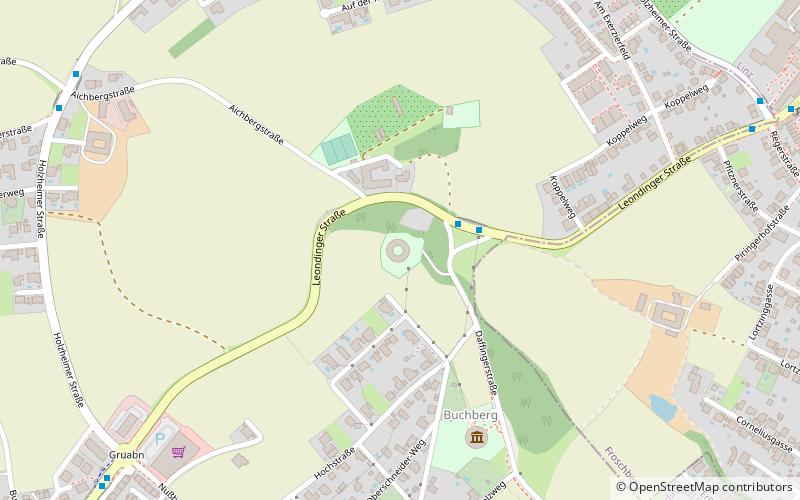
The Turmbefestigung Linz or Maximilian Turmlinie or Maximilianstürme was a fortification built in the early 19th century. It consisted of a belt of fortification towers around the city of Linz and is also known as Donaufestung Linz, Verschanztes Lager von Linz or Maximilianische Befestigungsanlage.
Coordinates: 48°17'20"N, 14°15'36"E
Address
1 BuchbergLinz
ContactAdd
Social media
Add
Day trips
Tower 10 – popular in the area (distance from the attraction)
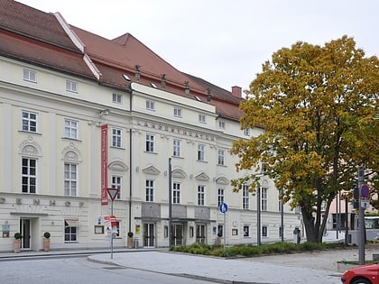
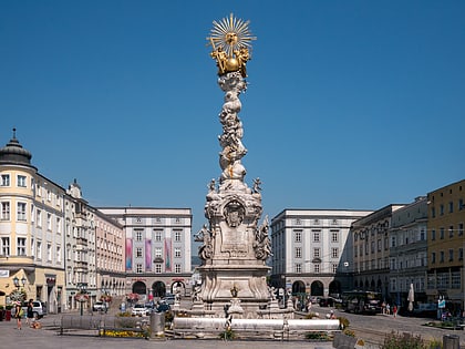
Nearby attractions include: New Cathedral, Atelierhaus Salzamt, Linz State Theatre, Trinity Column.
Frequently Asked Questions (FAQ)
Which popular attractions are close to Tower 10?
Nearby attractions include Peinherrnhof, Linz (14 min walk), Probeturm, Linz (17 min walk), Freinberg, Linz (18 min walk), Leonding, Linz (22 min walk).
How to get to Tower 10 by public transport?
The nearest stations to Tower 10:
Bus
Train
Tram
Bus
- Turmmuseum • Lines: 19 (2 min walk)
- Aichbergstraße • Lines: 17 (10 min walk)
Train
- Leonding Lokalbahn (27 min walk)
- Leonding (28 min walk)
Tram
- Gaumberg • Lines: 3, 4 (28 min walk)
- Untergaumberg • Lines: 3, 4 (28 min walk)


