Fimbatal
#701 among destinations in Austria
![Fimbatal location map](https://tzmedia.b-cdn.net/media/images/static-maps/at/46_9633_10_2839.jpg)
Facts and practical information
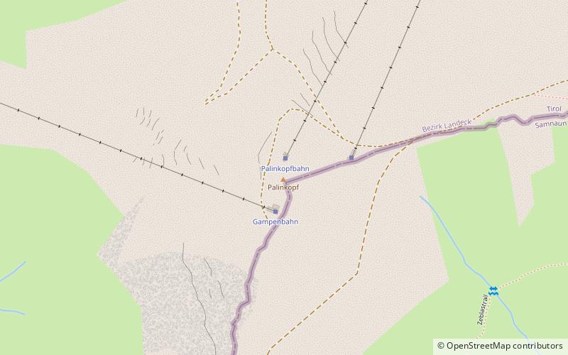
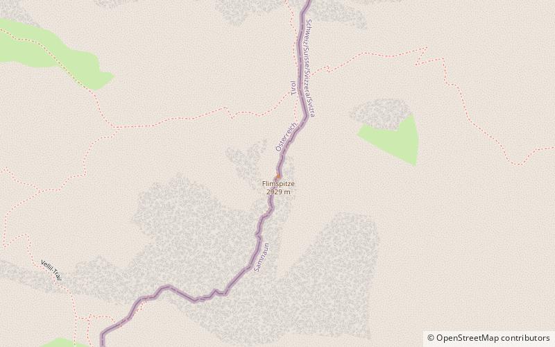
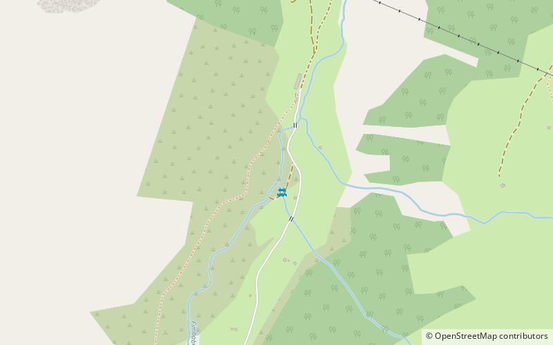
The Fimbatal, also Fimbertal, is an alpine valley situated between the Silvretta Alps and the Samnaun Alps. The valley is drained by the Fimbabach river, a tributary of the Inn basin at Ischgl. The highest mountain bordering the Fimbatal is the Fluchthorn. ()
TyrolAustria
Fimbatal plan & book
Unleash the traveler in you — discover the cheapest flight deals, find the perfect hotel or hostel nearby, and search for the best car rental prices. Travel at your own pace to discover new places and enjoy your journey.
Fimbatal – popular in the area (distance from the attraction)
Nearby attractions include: Greitspitz, Patteriol, Bürkelkopf, Palinkopf.
2.4 miENature, Natural attraction, MountainGreitspitz
62 min walk • The Greitspitz is a mountain of the Samnaun Alps, located on the border between Switzerland and Austria. It lies approximately halfway between Samnaun and Ischgl. In winter it is part of the ski area Silvretta Arena.
7.2 miNWNature, Natural attraction, MountainPatteriol
184 min walk • The Patteriol is a mountain in the Verwall Alps in the Austrian state of Tyrol. It has an elevation of 3,056 m. In old literature the elevation is stated higher: 3,059 m or 10,037 ft.
3.5 miNENature, Natural attraction, MountainBürkelkopf
90 min walk • Bürkelkopf is a mountain of the Samnaun Alps, located on the border between Austria and Switzerland. It lies between Ischgl and Samnaun. In winter it is part of a ski area.
1.5 miSENature, Natural attraction, MountainPalinkopf
39 min walk • The Palinkopf is a mountain of the Samnaun Alps, located on the border between Switzerland and Austria. It lies west of Samnaun and is part of the Samnaun-Ischgl ski area.
4.7 miW 4.1 miNENature, Natural attraction, MountainVesulspitze
104 min walk • The Vesulspitze is a mountain of the Samnaun Alps, located near Ischgl in Austria. With an elevation of 3,089 metres above sea level, it is the highest summit of the Samnaun Alps north of the Zeblasjoch.
5.1 miWNature, Natural attraction, MountainGaisspitze
131 min walk • The Gaisspitze is a cone shaped mountain in the Verwall Alps in the Austrian state of Tyrol and north of the municipality Galtür. It has an elevation of 2,779 m. The nearest taller mountain is the Glatter Berg, about 1 km north. They are separated via the col Muttenjoch.
3.4 miNTownIschgl
88 min walk • In addition to its world-class skiing, Ischgl is also known for its vibrant apres-ski scene, with numerous bars and restaurants offering a lively atmosphere and delicious Austrian cuisine. After a day on the slopes, visitors can unwind with a glass of gluhwein...
5.9 miNWNature, Natural attraction, MountainKüchlspitze
150 min walk • The Küchlspitze is a three-thousander in the Verwall between the valley of Stanzer Tal and Paznaun in the western North Tyrol in Austria.
3.3 miNENature, Natural attraction, MountainFlimspitz
83 min walk • Flimspitz is a mountain of the Samnaun Alps, located on the border between Switzerland and Austria. It lies on the range between the Greitspitz and the Bürkelkopf. From the Flimjoch a trail leads to the summit of the mountain.
7.3 miSWAlpine hut, HikingJamtalhütte
187 min walk • The Jamtalhütte is a refuge of the Schwaben Section of the German Alpine Club, located at 2165 m above sea level about 10 kilometers from Galtür in the Jamtal. It is a much-visited base for ski tourers, especially in spring.