Hoher Fraßen


Facts and practical information
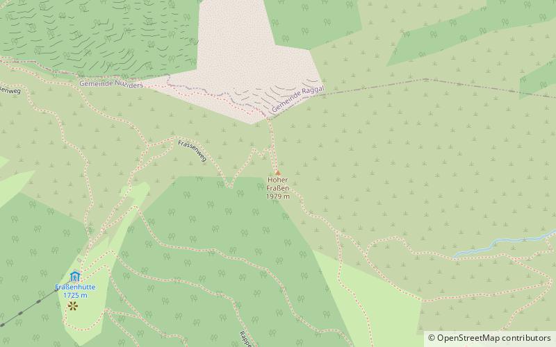
The Hohe Fraßen is a mountain 1979 m above sea level in the Lechquellen Mountains in the Austrian state of Vorarlberg. It is the westernmost independent mountain of the range.
It sends out two distinct, long ridges: To the east the Klesiwand to the Tiefenseesattel, and to the southwest down to the Hangenden Stein between Ludesch and Nüziders. On its western slope is the Ludescherberg parcel in a promising location.
It can be reached in about 2 hours from the top station of the Muttersberg cable car, among other places.
with circular route via Fraßenhütte and the same route as return: 3½ hours, via Rappaschrofaweg and Tiefenseesattel : 4 hours.
From Raggal the summit can be reached on a steeper path via the Klesialpe in 2¾ hours, also from Marul a path leads via the Tiefenseealpe and further via the Klesialpe or via the Tiefenseesattel and the Rappaschrofen to the summit.
From there, there is a comprehensive view of the Rätikon, into the Silvretta, e.g. with the Piz Buin, and of the Swiss mountains beyond the Rhine.
In 1972, the largest forest fire in Austria at the time raged on the southeastern slopes of the mountain after a lawn fire started by children playing on the Muttersberg got out of control, spread to the vegetation on the Frassenhang above, which was steep and difficult to access, and destroyed 100 hectares of forest, or 55 hectares according to other sources.
Vorarlberg
Hoher Fraßen – popular in the area (distance from the attraction)
Nearby attractions include: Bürser Platte, Bregenz Forest Mountains, Glatthorn, Klimmerei.


