Schalfkogel

Gallery (1)
Map
Map
Facts and practical information
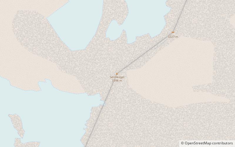
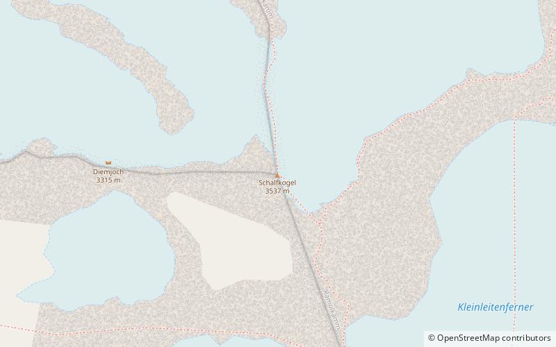
The Schalfkogel is a mountain in the Schnalskamm group of the Ötztal Alps. ()
Alternative names: First ascent: 1830Elevation: 11614 ftProminence: 1165 ftCoordinates: 46°48'6"N, 10°57'33"E
Location
Tyrol
ContactAdd
Social media
Add
Day trips