Langtalereckhütte
Map

Map

Facts and practical information
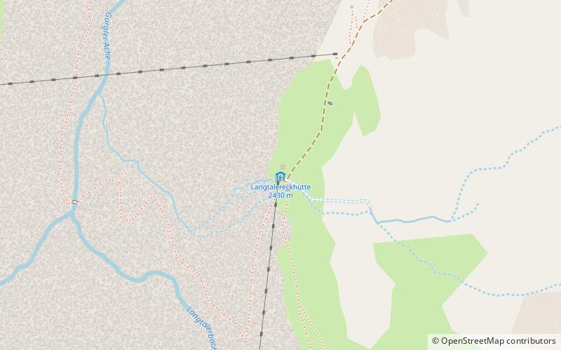
The Langtalereckhütte is an alpine club hut of the Karlsruhe section of the German Alpine Club. It is located at the Langtalereck in the rearmost Gurgler Valley above the melting tongue of the Gurgler Ferner. The hut is a base for summit ascents and mountain hikes, as well as an alpine base for the Ötztal Ski Tour.
Coordinates: 46°49'43"N, 10°59'31"E
Day trips
Langtalereckhütte – popular in the area (distance from the attraction)
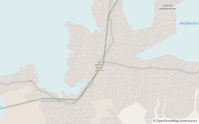
Nearby attractions include: Breslauer Hütte, Timmelsjoch, Schalfkogel, Weißer Kogel.


