Ramolhaus
Map

Map

Facts and practical information
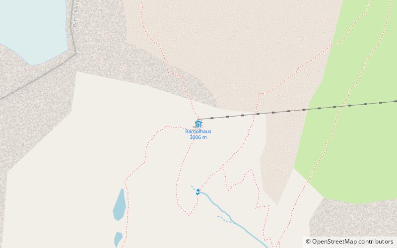
Ramolhaus is an alpine club hut of the Hamburg and Lower Elbe section of the German Alpine Club. It is located on the southeast slope of the rear Gurgler Valley on a prominent rocky head high above the melting tongue of the Gurgler Ferner in the main ridge in the Ötztal Alps.
The Ramol House was built from 1881 to 1883 and expanded in 1898, 1929 and 2005.
Coordinates: 46°49'47"N, 10°58'11"E
Location
301 Hütten GurglTyrol
ContactAdd
Social media
Add
Day trips
Ramolhaus – popular in the area (distance from the attraction)
Nearby attractions include: Wildspitze, Kreuzspitze, Breslauer Hütte, Schalfkogel.


