Olpererhütte
Map

Gallery

Facts and practical information
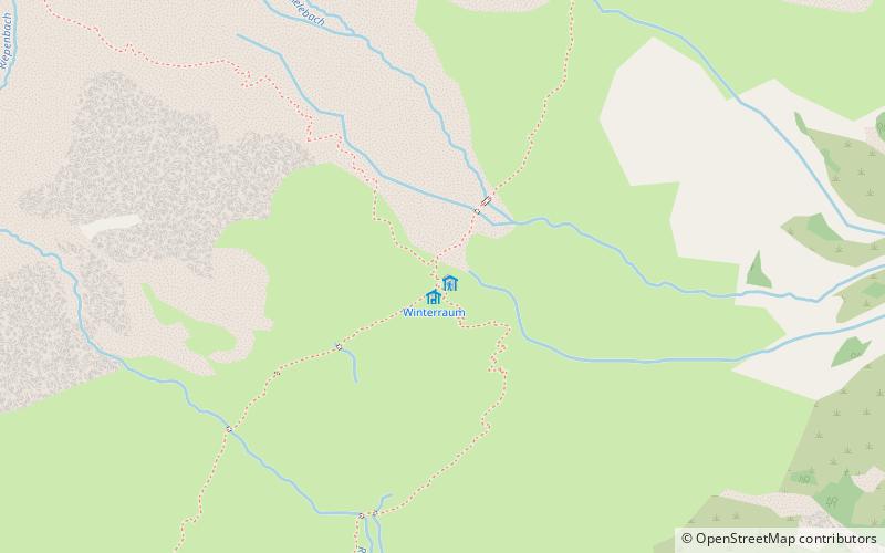
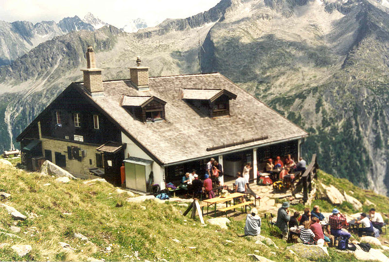
The Olpererhütte is a refuge of the Neumarkt/Oberpfalz section of the German Alpine Club in the Zillertal Alps at an altitude of 2388 m above sea level in the Austrian state of Tyrol. The hut is a station in the course of three alpine altitude trails, the Zentralalpenweg 02 of the Austrian Alpine Club, the Berliner Höhenweg and the Tiroler Höhenweg. It can only be reached on foot. The walking time for the ascent from Schlegeisspeicher is about 90 minutes.
Coordinates: 47°2'32"N, 11°41'18"E
Day trips
Olpererhütte – popular in the area (distance from the attraction)
Nearby attractions include: Hintertux Glacier, Spannagel Cave, Gefrorene-Wand-Spitzen, Olperer.


