Zillertal Alps

Gallery (3)
Map

Map
Gallery
Facts and practical information
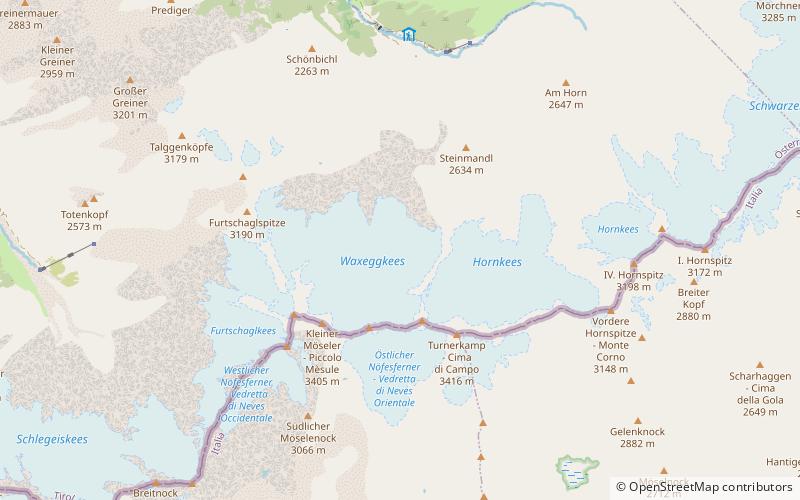
The Zillertal Alps are a mountain range of the Central Eastern Alps on the border of Austria and Italy. ()
Local name: Zillertaler Alpen Maximum elevation: 11516 ftElevation: 11516 ftCoordinates: 47°0'0"N, 11°48'0"E
Location
Tyrol
ContactAdd
Social media
Add
Day trips


