Tribulaunhaus

Gallery (1)
Map
Map
Facts and practical information
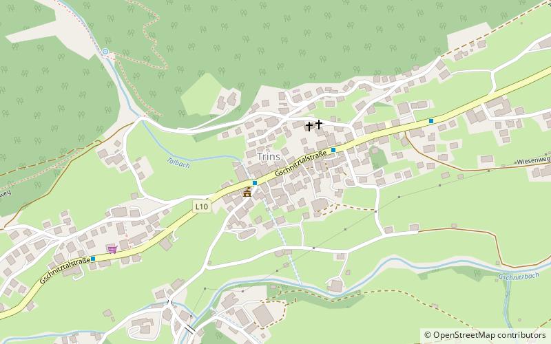
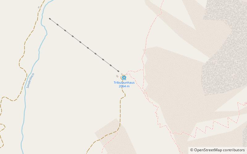
Tribulaunhütte, also called Tribulaunhaus, is a refuge in the Stubai Alps. It is located at 2064 m above sea level south above Gschnitz in the Gschnitztal valley in the Austrian province of Tyrol and belongs to the tourist association Naturfreunde.
Coordinates: 47°0'8"N, 11°20'48"E
Day trips