Währing, Vienna
Map
Gallery

Facts and practical information
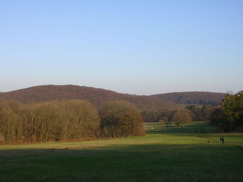
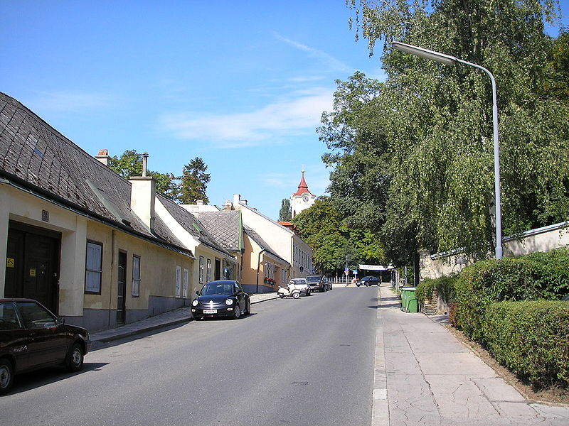
Währing is the 18th district of Vienna and lies in northwestern Vienna on the edge of the Vienna Woods. It was formed in 1892 from the unification of the older suburbs of Währing, Weinhaus, Gersthof, Pötzleinsdorf, Neustift am Walde and Salmannsdorf. In 1938 Neustift am Walde and Salmannsdorf were annexed to the neighbouring 19th District. Because of several wealthy neighbourhoods, Währing is known today as one of Vienna’s upmarket districts, along with Döbling and Hietzing. ()
Day trips
Währing – popular in the area (distance from the attraction)
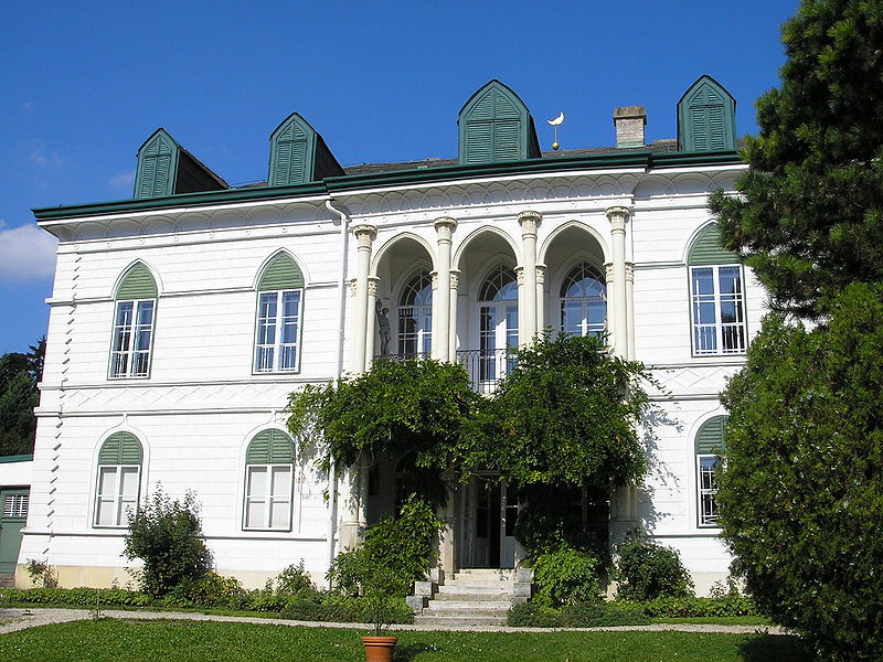
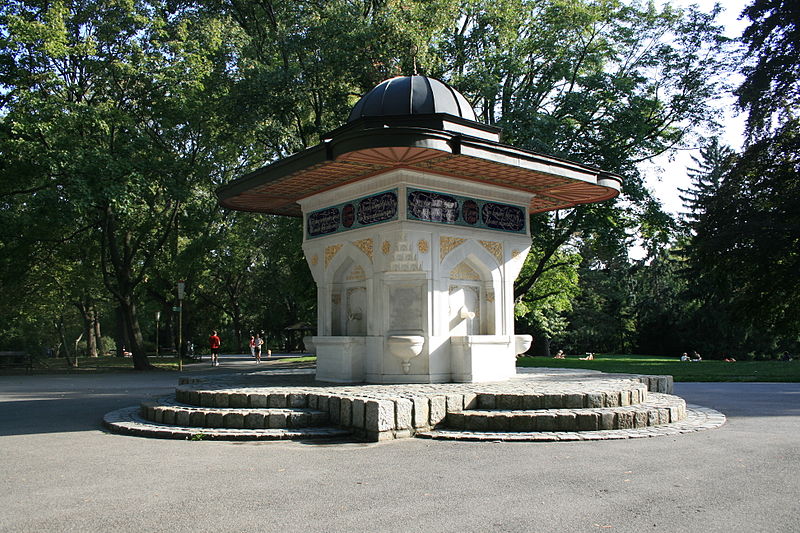
Nearby attractions include: Schloß Pötzleinsdorf, Vienna Observatory, Schloss Neuwaldegg, Türkenschanzpark.
Frequently Asked Questions (FAQ)
Which popular attractions are close to Währing?
Nearby attractions include Döbling Cemetery, Vienna (19 min walk), Schloß Pötzleinsdorf, Vienna (20 min walk), Glanzing, Vienna (21 min walk), Geymüllerschlössel, Vienna (21 min walk).
How to get to Währing by public transport?
The nearest stations to Währing:
Tram
Bus
Train
Tram
- Eckpergasse • Lines: 40 (3 min walk)
- Herbeckstraße • Lines: 40 (4 min walk)
Bus
- Schöberweg • Lines: 42A (6 min walk)
- Gersthofer Friedhof • Lines: 42A (6 min walk)
Train
- Wien Gersthof (18 min walk)
- Wien Hernals (18 min walk)


