Herzog-Friedrich-Straße, Innsbruck
Map

Map

Facts and practical information
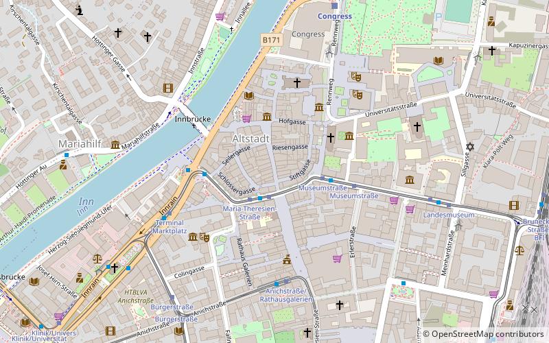
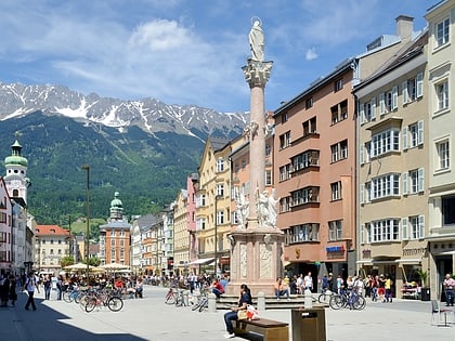
Herzog-Friedrich-Straße is the central street through the old town of Innsbruck. It is named after Duke Friedrich IV "with the empty pocket".
Coordinates: 47°16'3"N, 11°23'37"E
Address
Innsbruck
ContactAdd
Social media
Add
Day trips
Herzog-Friedrich-Straße – popular in the area (distance from the attraction)
Nearby attractions include: Hofburg, Goldenes Dachl, Innsbruck Cathedral, Hofkirche.
Frequently Asked Questions (FAQ)
Which popular attractions are close to Herzog-Friedrich-Straße?
Nearby attractions include Innsbruck, Innsbruck (2 min walk), Grand Pond, Innsbruck (2 min walk), Stadtturm Innsbruck, Innsbruck (2 min walk), Altstadt, Innsbruck (2 min walk).
How to get to Herzog-Friedrich-Straße by public transport?
The nearest stations to Herzog-Friedrich-Straße:
Bus
Tram
Train
Bus
- Maria-Theresien-Straße • Lines: A, C, J, M, N1, N2, N7, N8, Ts (2 min walk)
- Museumstraße • Lines: A, C, J, M, N1, N2, N7, N8 (3 min walk)
Tram
- Maria-Theresien-Straße • Lines: 1, 2, 3, Stb (2 min walk)
- Museumstraße • Lines: 1, 2, 3, Stb (3 min walk)
Train
- Congress (7 min walk)
- Innsbruck Hbf (12 min walk)


