Rauhekopfhütte

Gallery (1)
Map
Map
Facts and practical information
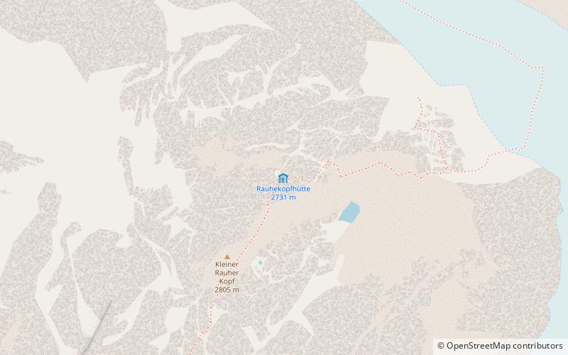
The Rauhekopfhütte is an alpine club hut of the Frankfurt am Main section of the German Alpine Club. It is located in the rear Kaunertal in the Weißkamm in the Ötztal Alps.
Coordinates: 46°52'12"N, 10°45'47"E
Day trips


