Plauener Hütte

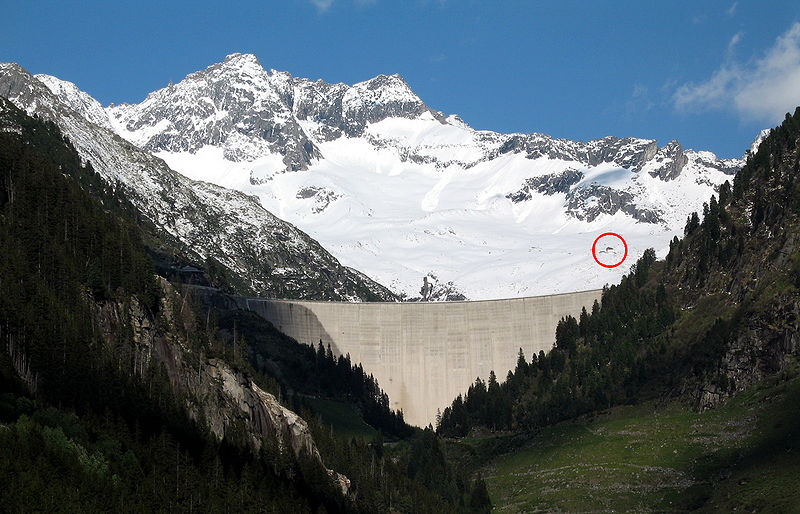
Gallery (3)
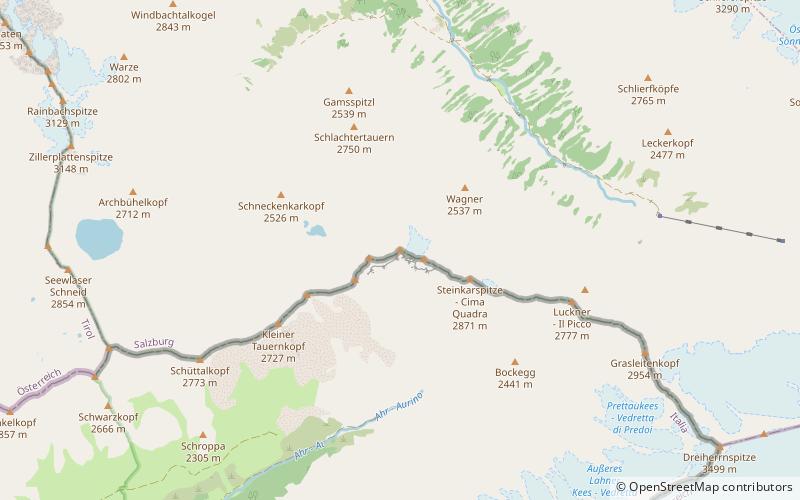
Map
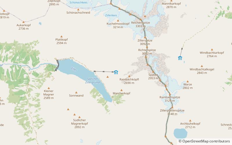
Map
Gallery
Facts and practical information
Plauener Hütte is a refuge of the Plauen-Vogtland Section of the German Alpine Club in Austria. It is located at an altitude of 2363 m asl.
Coordinates: 47°7'6"N, 12°5'46"E
Location
Tyrol
ContactAdd
Social media
Add
Day trips