Zittauer Hütte

Gallery (1)
Map
Map
Facts and practical information
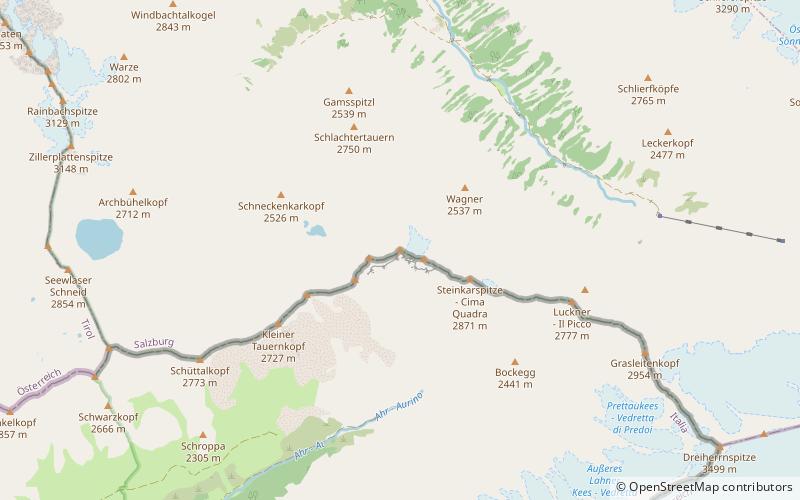
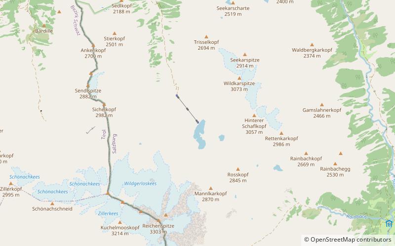
The Zittauer Hütte is a high-alpine refuge of the Warnsdorf-Krimml section of the Austrian Alpine Club. It is located at 2328 m above sea level in the Wildgerlostal valley in the Hohe Tauern National Park.
Coordinates: 47°9'46"N, 12°7'27"E
Day trips