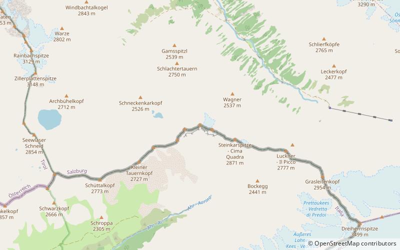
Westliches Zwillingsköpfl

Map
Facts and practical information
The Westliches Zwillingsköpfl, is a 2,835-metre mountain peak on the border of Italy and Austria. The Westliches Zwillingsköpfl is the northernmost point of Italy, even though the nearby Glockenkarkopf is often considered to hold this distinction. The first known ascent of the Westliches Zwillingsköpfl was made on 9 July 1895 by Franz Hofer and Fritz Koegl, who published an account of their tour in the journal of the Österreichischer Alpenverein in 1897. ()
Location
Salzburg
ContactAdd
Social media
Add
Day trips
Westliches Zwillingsköpfl – popular in the area (distance from the attraction)
Nearby attractions include: Simonyspitzen, Dreiherrnspitze, Rauhkofel, Schlieferspitze.


