Lasörlinghütte
Map

Map

Facts and practical information
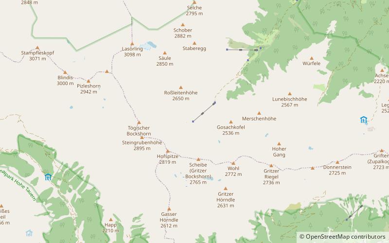
The Lasörlinghütte is a private refuge in the Lasörlinggruppe. The hut is located in the rearmost Mullitztal, the so-called Glauret, where copper mining was already practiced in prehistoric times.
Coordinates: 46°57'25"N, 12°22'37"E
Day trips
Lasörlinghütte – popular in the area (distance from the attraction)
Nearby attractions include: Lasörling, Defereggen Valley, Lasörling Group, Rote Spitze.


