Lindauer Hütte

Gallery (1)
Map
Map
Facts and practical information
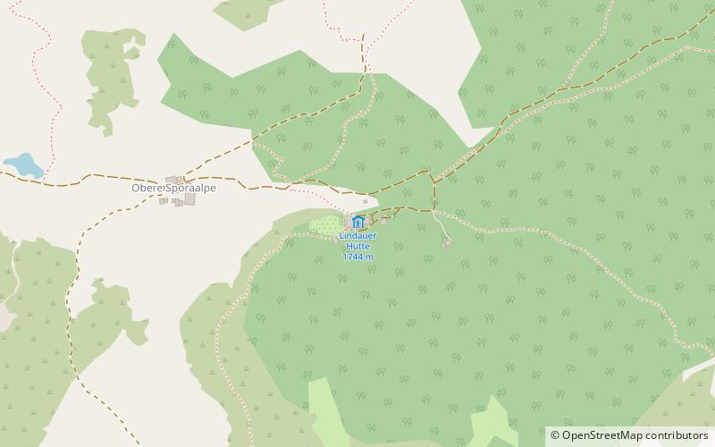
The Lindauer Hütte is a refuge of the Lindau Section of the German Alpine Club. It is located in the Gauertal valley just below the timberline at the foot of the Drei Türme at 1744 m above sea level in the Rätikon in the Montafon region of Vorarlberg. Due to its elevated position on a moraine ridge, it has so far been spared avalanches.
In the alpine garden, created in 1907, right next to the hut, plants from the alpine area are displayed.
Coordinates: 47°2'4"N, 9°50'8"E
Day trips