Drusenfluh
Map

Map

Facts and practical information
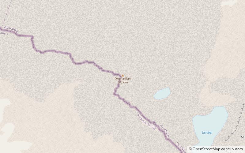
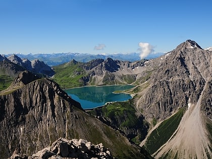
The Drusenfluh is a mountain in the Rätikon range of the Alps, located on the border between Austria and Switzerland. According to the Swisstopo map, the mountain both includes the 2827 m Drusenfluh on the border and the three peaks named the Drei Türme, the highest of which is north of the main ridge on the Austrian site. The Drusenfluh and Drei Türme are separated by the 2637 m Eisjöchl. ()
Alternative names: First ascent: 1870Elevation: 9275 ftProminence: 623 ftCoordinates: 47°1'44"N, 9°48'6"E
Location
Vorarlberg
ContactAdd
Social media
Add
Day trips
Drusenfluh – popular in the area (distance from the attraction)
Nearby attractions include: Lünersee, Alpenbad Montafon, Alpine Coaster, Zimba Mountain.


