Hohe Brücke, Vienna
Map
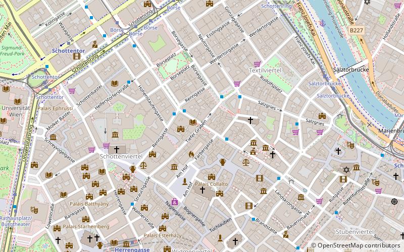
Map

Facts and practical information
The Hohe Brücke is a bridge across the Tiefer Graben in Innere Stadt, Vienna, Austria. It links the two parts of Wipplingerstraße, which used to be separated by a brook. ()
Address
Innere Stadt (Stubenviertel)Vienna
ContactAdd
Social media
Add
Day trips
Hohe Brücke – popular in the area (distance from the attraction)
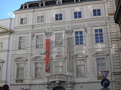
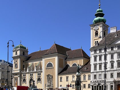
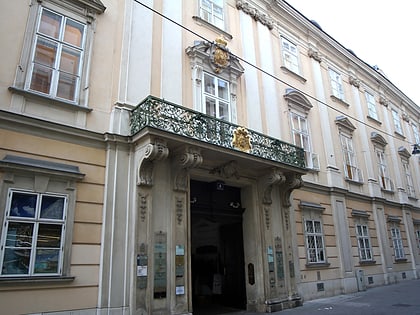
Nearby attractions include: Pestsäule, Palais Kinsky, Peterskirche, Maria am Gestade.
Frequently Asked Questions (FAQ)
Which popular attractions are close to Hohe Brücke?
Nearby attractions include Judenplatz, Vienna (3 min walk), Judenplatz, Vienna (3 min walk), Maria am Gestade, Vienna (3 min walk), Palais Schönborn-Batthyány, Vienna (3 min walk).
How to get to Hohe Brücke by public transport?
The nearest stations to Hohe Brücke:
Bus
Tram
Metro
Ferry
Light rail
Train
Bus
- Renngasse • Lines: 1A, 2A, 3A (2 min walk)
- Schwertgasse • Lines: 1A, 3A (2 min walk)
Tram
- Börse • Lines: 1, 71, D, U2Z (7 min walk)
- Salztorbrücke • Lines: 1 (7 min walk)
Metro
- Herrengasse • Lines: U3 (8 min walk)
- Schottentor • Lines: U2 (8 min walk)
Ferry
- Nationalparkboot Lobau (8 min walk)
Light rail
- Oper, Karlsplatz • Lines: 62, Wlb (19 min walk)
- Karlsplatz • Lines: 1, 62, Wlb (22 min walk)
Train
- Wien Mitte (23 min walk)
- Wien Franz-Josefs-Bahnhof (27 min walk)


