Holzgauer Wetterspitze

Gallery (1)
Map
Map
Facts and practical information
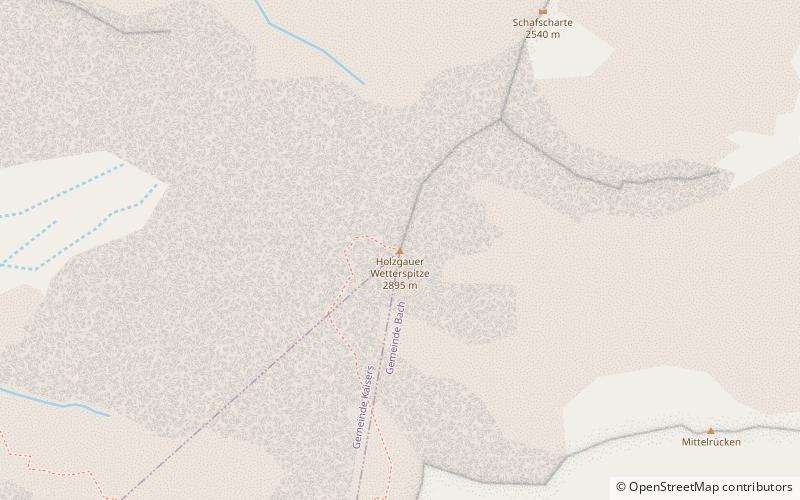
Holzgauer Wetterspitze is a mountain in the Lechtal Alps of Tyrol, Austria. The elevation at its peak is 2,895 metres. It is located in the district of Reutte, 7 kilometres south of Holzgau, for which its name is derived, and 5 kilometres east of Kaisers. It is also about 600 metres north of the Feuerspitze. ()
Location
Tyrol
ContactAdd
Social media
Add
Day trips


