Feuerspitze

Gallery (1)
Map
Map
Facts and practical information
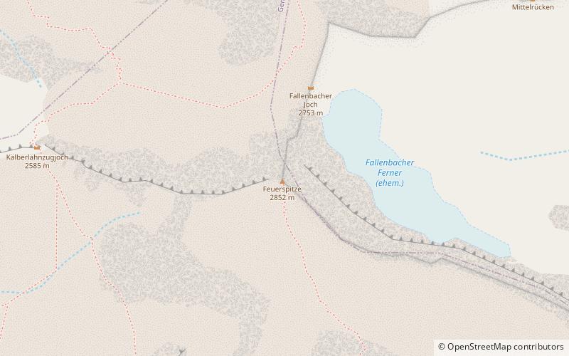
Feuerspitze is a mountain in the Lechtal Alps of Tyrol. The elevation at its peak is 2,852 metres. Feuerspitze is located 7 kilometres southeast of Holzgau. ()
Location
Tyrol
ContactAdd
Social media
Add
Day trips


