Lutheran City Church, Vienna
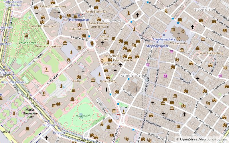
Map

Map

Facts and practical information
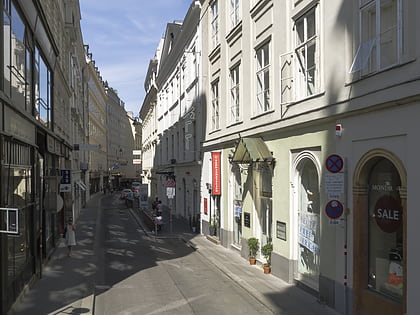
The Lutheran City Church is a Lutheran church building in Innere Stadt, the first district of Vienna. ()
Local name: Lutherische Stadtkirche Completed: 1583 (443 years ago)Architectural style: RenaissanceCoordinates: 48°12'24"N, 16°22'6"E
Address
Dorotheergasse 16Innere Stadt (Kärntner Viertel)Vienna 1010
Contact
+43 1 5128393
Social media
Add
Day trips
Lutheran City Church – popular in the area (distance from the attraction)
Nearby attractions include: Hofburg, Spanish Riding School, Albertina, Memorial against war and fascism.
Frequently Asked Questions (FAQ)
Which popular attractions are close to Lutheran City Church?
Nearby attractions include Palais Pallavicini, Vienna (1 min walk), Palais Pálffy, Vienna (1 min walk), Phantastenmuseum, Vienna (1 min walk), Dorotheum, Vienna (1 min walk).
How to get to Lutheran City Church by public transport?
The nearest stations to Lutheran City Church:
Bus
Metro
Tram
Light rail
Ferry
Train
Bus
- Plankengasse • Lines: 2A (2 min walk)
- Habsburgergasse • Lines: 1A, 2A (2 min walk)
Metro
- Stephansplatz • Lines: U1, U3 (5 min walk)
- Herrengasse • Lines: U3 (6 min walk)
Tram
- Burgring • Lines: 1, 2, 71, D, U2Z (8 min walk)
- Oper, Karlsplatz • Lines: 1, 2, 62, 71, D, U2Z (8 min walk)
Light rail
- Oper, Karlsplatz • Lines: 62, Wlb (9 min walk)
- Karlsplatz • Lines: 1, 62, Wlb (11 min walk)
Ferry
- Nationalparkboot Lobau (18 min walk)
Train
- Wien Mitte (19 min walk)
- Wien Rennweg (29 min walk)


