Burgruine Klingenberg
Map

Gallery

Facts and practical information
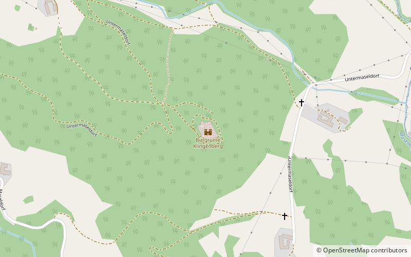
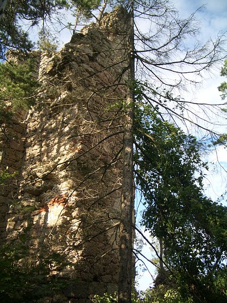
The castle ruin Klingenberg is a hilltop castle probably built in the 11th century by the Lords of Perg about 2.3 kilometers northeast of St. Thomas am Blasenstein in the district of Perg in the Mühlviertel in Upper Austria.
Coordinates: 48°19'28"N, 14°47'19"E
Location
Upper Austria
ContactAdd
Social media
Add
Day trips
Burgruine Klingenberg – popular in the area (distance from the attraction)
Nearby attractions include: Burgruine Ruttenstein, Großdöllner Hof, Burgruine Windhaag, Pfarrkirche Rechberg.


