St. Stefan am Krappfeld
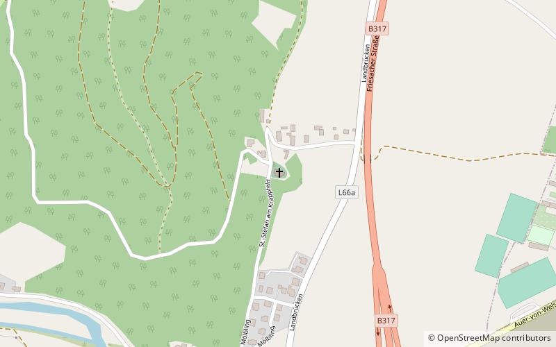
Map

Gallery

Facts and practical information
The Roman Catholic parish church of St. Stefan am Krappfeld in the municipality of Mölbling was first mentioned in documents in 1131. The former fortified church was besieged by the Turks in 1478 and taken by the Hungarians in 1480. The fortified cemetery wall was demolished in 1858 and replaced by a lower one.
Architectural style: Romanesque architectureCoordinates: 46°52'3"N, 14°26'46"E
Location
Carinthia
ContactAdd
Social media
Add
Day trips
St. Stefan am Krappfeld – popular in the area (distance from the attraction)
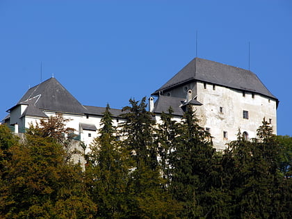
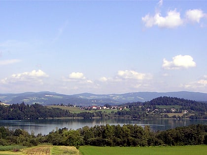
Nearby attractions include: Schloss Straßburg, Burg Mannsberg, Längsee, Schloss Eberstein.


