Hörtenberg, Telfs

Gallery (3)
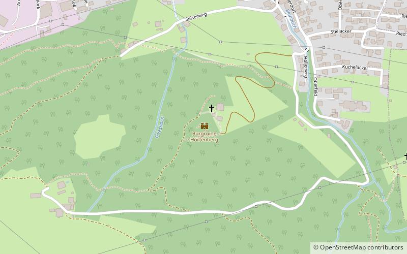
Map
Map
Gallery
Facts and practical information
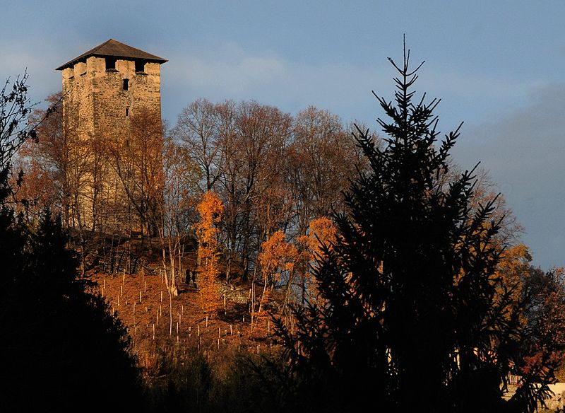
The castle ruin Hörtenberg, sometimes also called Pfaffenhofener Schlössl, is the partially renovated ruin of a high castle at 797 m above sea level in the municipality of Pfaffenhofen in the district of Innsbruck-Land in Tyrol.
Coordinates: 47°17'40"N, 11°4'46"E
Address
Telfs
ContactAdd
Social media
Add
Day trips


