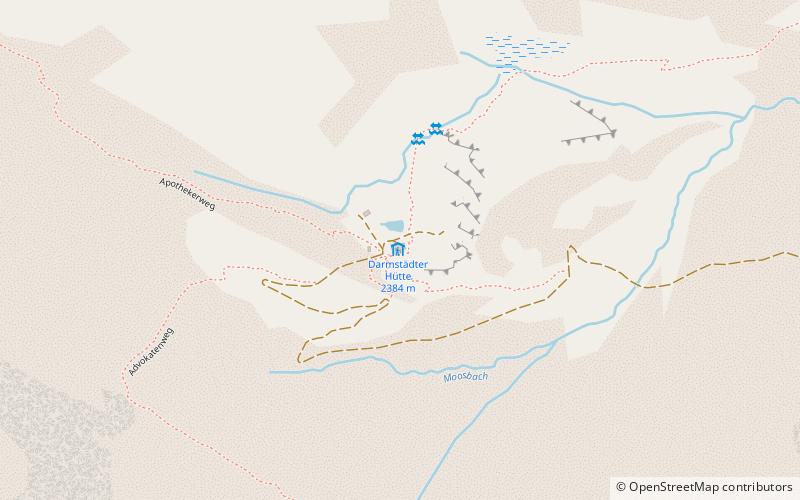
Darmstädter Hütte
Map

Map

Facts and practical information
The Darmstädter Hütte is an alpine club hut of the Darmstadt-Starkenburg Section of the German Alpine Club in the municipality of St. Anton am Arlberg in the Verwallgruppe in Tyrol.
Coordinates: 47°3'12"N, 10°14'47"E
Location
Tyrol
ContactAdd
Social media
Add
Day trips
Darmstädter Hütte – popular in the area (distance from the attraction)
Nearby attractions include: Scheibler Mountain, Kuchenspitze, Saumspitze, Küchlspitze.


