Zwölferkogel
#312 among destinations in Austria


Facts and practical information
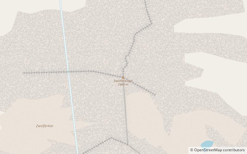
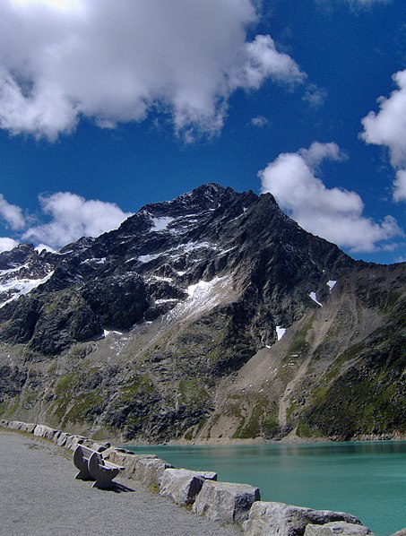
The Zwölferkogel is a mountain, 2,988 m, in the Stubai Alps in the Austrian state of Tyrol. ()
TyrolAustria
Zwölferkogel – popular in the area (distance from the attraction)
Nearby attractions include: Sulzkogel, Pirchkogel, Acherkogel, Rietzer Grießkogel.
 Nature, Natural attraction, Mountain
Sulzkogel
14 min walk • Sulzkogel in Austria is a majestic peak that beckons mountain enthusiasts and nature lovers alike. Rising to an elevation of 3,016 meters, it is one of the accessible 3,000-meter summits in the Stubai Alps, offering panoramic views that capture the raw beauty of the...
 Nature, Natural attraction, Mountain
Pirchkogel
77 min walk • The Pirchkogel is a mountain, 2,828 m, in the Stubai Alps in Tyrol. It is a good viewing mountain.
 Nature, Natural attraction, Mountain
Acherkogel
65 min walk • The Acherkogel is a mountain in the Austrian Alps with a 3,008 m above sea level high summit. It is the northernmost three-thousander in the state of Tyrol.
 Nature, Natural attraction, Mountain
Rietzer Grießkogel
114 min walk • The Rietzer Grießkogel is a mountain, 2,884 m, and the highest peak in the Northern Sellrain Mountains, part of the Stubai Alps in the Austrian state of Tyrol. The summit is easily climbed on path no. 153. The first documented ascent was undertaken in 1829 by Innsbruck botanist, Andrä Sauter, a brother of Anton Sauter.
 Nature, Natural attraction, Mountain
Zischgeles
145 min walk • Zischgeles is a summit in the Stubai Alps in the Austrian state of Tyrol.
 Nature, Natural attraction, Mountain
Zwieselbacher Rosskogel
65 min walk • The Zwieselbacher Rosskogel is a double peak in the northern Stubai Alps in the Austrian state of Tyrol. Its summit offers a sweeping panorama to the north because no other higher mountains impede the view.
 Nature, Natural attraction, Valley
Ötztal, Umhausen
138 min walk • The Ötztal is an alpine valley located in Tyrol, Austria. The Ötztaler Ache river flows through the valley in a northern direction. The Ötztal separates the Stubai Alps in the east from the Ötztal Alps in the west. The valley is 65 km long.
 Nature, Natural attraction, Mountain
Gleirscher Fernerkogel
149 min walk • The Gleirscher Fernerkogel, also Gleirschfernerkogl, formerly called the Roßkarspitze, is a mountain, 3,189 m, in the Southern Sellrain Mountains, a subgroup of the Stubai Alps. It rises in the Austrian state of Tyrol.
 Nature, Natural attraction, Mountain
Hochreichkopf
61 min walk • The Hochreichkopf is a mountain in the northwestern part of the Stubai Alps in the Austrian state of Tyrol. Its broad summit lies between the Niederreichjoch and Hochreichjoch cols east of and above the Ötztal valley.
 Nature, Natural attraction, Mountain
Gleirscher Rosskogel
75 min walk • The Gleirscher Rosskogel is a mountain in the northern Stubai Alps in the Austrian state of Tyrol. It is not particularly independent, because about 750 metres to the north rises the higher summit of the Zwieselbacher Rosskogel.
 Alpine hut, Hiking
Pforzheimer Hütte
97 min walk • The Pforzheimer Hütte, also Adolf-Witzenmann-Haus, is an alpine club hut of the Pforzheim Section of the German Alpine Club at 2308 m above sea level in the Gleirschtal valley in the Stubai Alps near the village of St. Sigmund im Sellrain.
