Pforzheimer Hütte
#1597 among destinations in Austria
![Pforzheimer Hütte location map](https://tzmedia.b-cdn.net/media/images/static-maps/at/47_1547_11_0726.jpg)
Facts and practical information
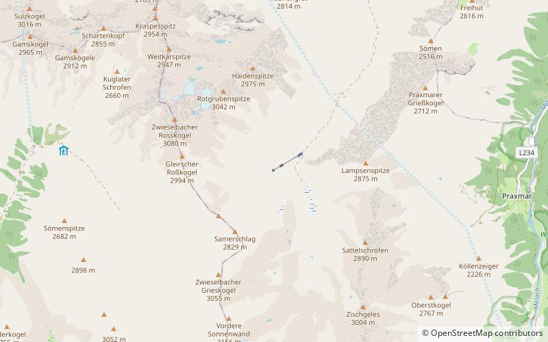
The Pforzheimer Hütte, also Adolf-Witzenmann-Haus, is an alpine club hut of the Pforzheim Section of the German Alpine Club at 2308 m above sea level in the Gleirschtal valley in the Stubai Alps near the village of St. Sigmund im Sellrain.
Pforzheimer Hütte plan & book
Unleash the traveler in you — discover the cheapest flight deals, find the perfect hotel or hostel nearby, and search for the best car rental prices. Travel at your own pace to discover new places and enjoy your journey.
Pforzheimer Hütte – popular in the area (distance from the attraction)
Nearby attractions include: Franz Senn Hut, Sulzkogel, Pirchkogel, Acherkogel.
6.6 miSEAlpine hut, HikingFranz Senn Hut
169 min walk • Nestled in the heart of the Austrian Alps, the Franz Senn Hut serves as a beacon for mountain enthusiasts and a testament to alpine hospitality. Situated at an altitude of 2,147 meters, this alpine hut is a favored base for climbers and hikers looking to explore the...
3.5 miNWNature, Natural attraction, MountainSulzkogel
88 min walk • Sulzkogel in Austria is a majestic peak that beckons mountain enthusiasts and nature lovers alike. Rising to an elevation of 3,016 meters, it is one of the accessible 3,000-meter summits in the Stubai Alps, offering panoramic views that capture the raw beauty of the...
6.4 miNWNature, Natural attraction, MountainPirchkogel
164 min walk • The Pirchkogel is a mountain, 2,828 m, in the Stubai Alps in Tyrol. It is a good viewing mountain.
5.9 miNWNature, Natural attraction, MountainAcherkogel
152 min walk • The Acherkogel is a mountain in the Austrian Alps with a 3,008 m above sea level high summit. It is the northernmost three-thousander in the state of Tyrol.
3.8 miNWNature, Natural attraction, MountainZwölferkogel
97 min walk • The Zwölferkogel is a mountain, 2,988 m, in the Stubai Alps in the Austrian state of Tyrol.
1.9 miSENature, Natural attraction, MountainZischgeles
49 min walk • Zischgeles is a summit in the Stubai Alps in the Austrian state of Tyrol.
4.1 miSNature, Natural attraction, MountainHoher Seeblaskogel
105 min walk • The Hoher Seeblaskogel is a mountain, 3,235 m, in the western part of the Stubai Alps in the Austrian state of Tyrol. Its independent summit lies between the cols of Winnebachjoch and Bachfallenscharte.
1.3 miNWNature, Natural attraction, MountainZwieselbacher Rosskogel
34 min walk • The Zwieselbacher Rosskogel is a double peak in the northern Stubai Alps in the Austrian state of Tyrol. Its summit offers a sweeping panorama to the north because no other higher mountains impede the view.
4 miSWNature, Natural attraction, MountainStrahlkogel
103 min walk • The Strahlkogel, at 3,288 m, is the highest peak in the Larstiger Mountains, a subgroup of the Stubai Alps in the Austrian state of Tyrol. The Strahlkogel is also the highest mountain in the municipality of Umhausen.
2.9 miSNature, Natural attraction, MountainGleirscher Fernerkogel
73 min walk • The Gleirscher Fernerkogel, also Gleirschfernerkogl, formerly called the Roßkarspitze, is a mountain, 3,189 m, in the Southern Sellrain Mountains, a subgroup of the Stubai Alps. It rises in the Austrian state of Tyrol.
4.9 miWNature, Natural attraction, MountainHochreichkopf
127 min walk • The Hochreichkopf is a mountain in the northwestern part of the Stubai Alps in the Austrian state of Tyrol. Its broad summit lies between the Niederreichjoch and Hochreichjoch cols east of and above the Ötztal valley.