Romariswandköpfe, National parks of Austria
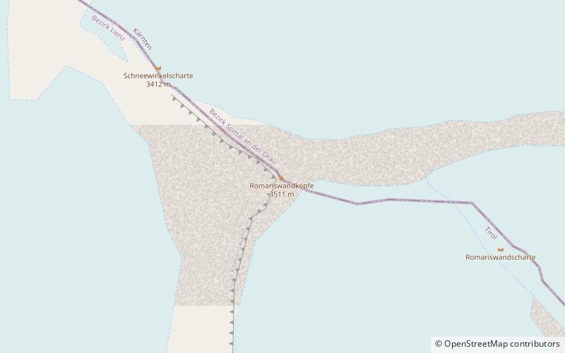
Map

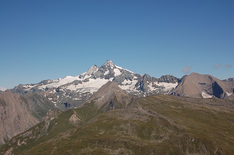
Gallery

Facts and practical information
Romariswandköpfe - a peak in the GlocknerGruppe group, in high tauri in the eastern Alps. It lies on the border of two Austrian union countries: Tyrol and Carinthia.
Nearby there are, among others, Eiskögele in the northwest as well as Grossglockner and Gltsgoand with a shepherd glacier, the largest in the Eastern Alps.
The first entrance, on August 29, 1868, was made by Johann Stüdl, Michel Groder and Andreas Kerer.
Address
National parks of Austria
ContactAdd
Social media
Add
Day trips
Romariswandköpfe – popular in the area (distance from the attraction)
Nearby attractions include: Grossglockner, Kleinglockner, Johannisberg, Teufelshorn.
Frequently Asked Questions (FAQ)
Which popular attractions are close to Romariswandköpfe?
Nearby attractions include Schneewinkelkopf, National parks of Austria (15 min walk), Teufelskamp, National parks of Austria (16 min walk), Eiskögele, National parks of Austria (22 min walk).


