Glocknerwand, National parks of Austria
Map

Map

Facts and practical information
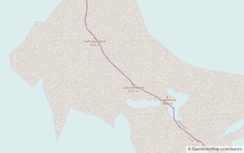
The Glocknerwand is a mountain in the Glockner Group in the Austrian Central Alps in the central region of the High Tauern. According to the literature it is 3,721 metres high, but the Austria Federal Office for Metrology and Survey gives its height as 3,722 metres. It is separated from Austria's highest peak, the neighbouring Großglockner, by the col known as the Untere Glocknerscharte. The mountain lies on the boundary between East Tyrol and Carinthia. ()
Address
National parks of Austria
ContactAdd
Social media
Add
Day trips
Glocknerwand – popular in the area (distance from the attraction)
Nearby attractions include: Grossglockner, Kleinglockner, Teufelshorn, Glockner Group.
Frequently Asked Questions (FAQ)
Which popular attractions are close to Glocknerwand?
Nearby attractions include Teufelshorn, National parks of Austria (5 min walk), Glockner Group, National parks of Austria (9 min walk), Grossglockner, National parks of Austria (9 min walk), Western Tauern Alps, National parks of Austria (10 min walk).


