Petzeck, National parks of Austria
Map

Map

Facts and practical information
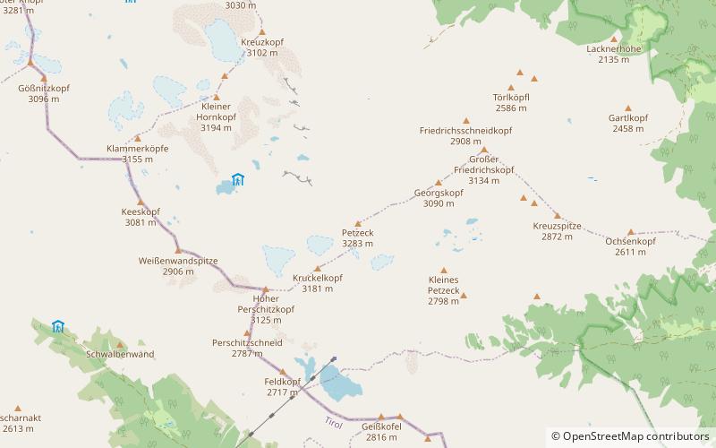
Petzeck is the highest mountain of the Schober Group in the High Tauern range, Austria. The mountain has a 1,000m high north face but its southern slope is more gentle, with lakes such as Kreuzsee and Wangenitzsee on its slopes. Its south western slope is glaciated. ()
Alternative names: First ascent: 1844Elevation: 10771 ftProminence: 2621 ftCoordinates: 46°56'54"N, 12°48'14"E
Address
National parks of Austria
ContactAdd
Social media
Add
Day trips
Petzeck – popular in the area (distance from the attraction)
Nearby attractions include: Elberfelder Hut, Wangenitzsee, Wangenitzsee Hut, Hochschober.


