High Tauern
Map

Gallery

Facts and practical information
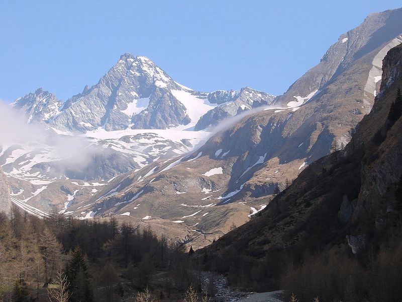
The High Tauern are a mountain range on the main chain of the Central Eastern Alps, comprising the highest peaks east of the Brenner Pass. The crest forms the southern border of the Austrian states of Salzburg, Carinthia and East Tyrol, with a small part in the southwest belongs to the Italian province of South Tyrol. The range includes Austria's highest mountain, the Grossglockner at 3,798 metres above the Adriatic. ()
Location
Salzburg
ContactAdd
Social media
Add
Day trips
High Tauern – popular in the area (distance from the attraction)
Nearby attractions include: Granatspitze, Tauernkogel, Larmkogel, Tauernkogel.


