Wetterstein Hütte

Gallery (1)
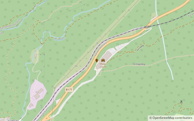
Map
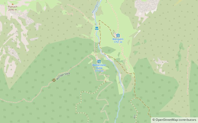
Map
Facts and practical information
The Ascher Hütte is a refuge of the Pfaffenhofen-Asch section of the German Alpine Club. It is located at 2256 m above sea level in the Samnaungruppe surrounded by Blankakopf and Rotpleiskopf, and is open from early July to mid-September.
Coordinates: 47°22'49"N, 11°6'30"E
Day trips